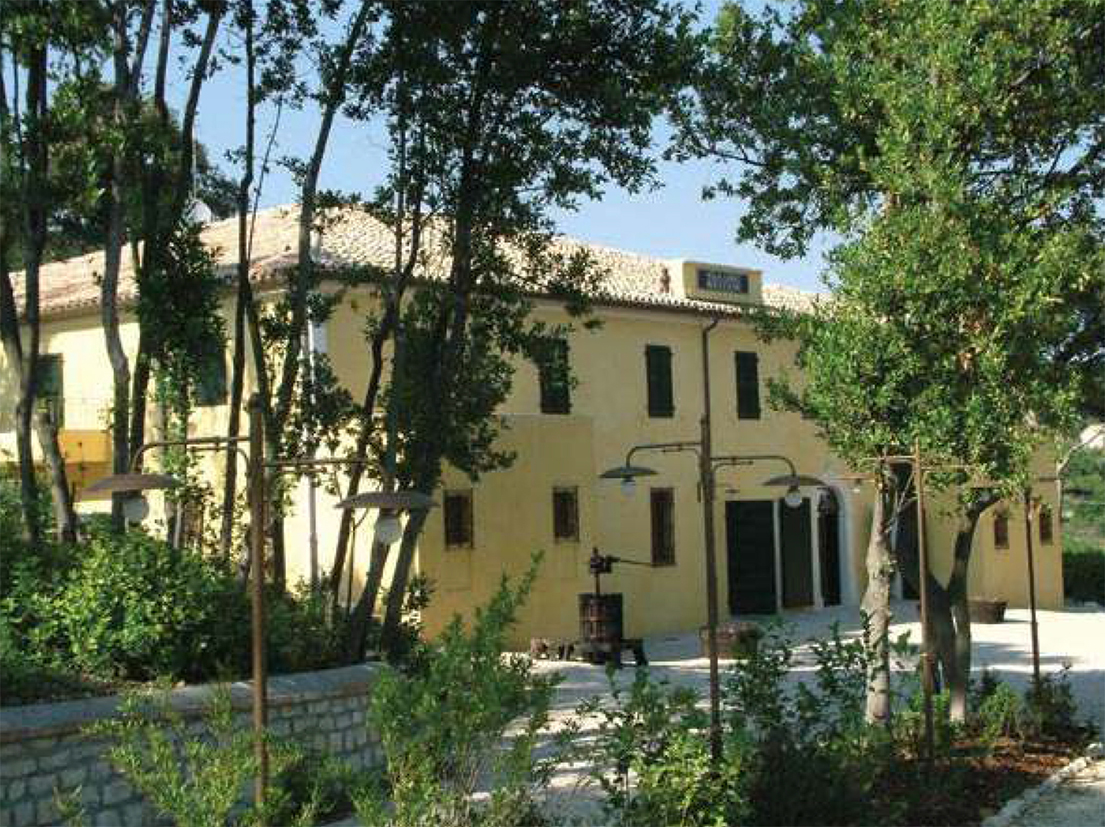
Villa Carlo Boccolini
On the southern slopes of Monte Conero, falling away towards the historic core of Sirolo, stands Villa Carlo Boccolini, an isolated, extra-urban structure set within its own encircling parkland. The building was once a dependency and farmstead of the Camaldolese monastic community, a reminder of the self-sufficient agricultural estates that religious orders maintained across the Italian countryside.
The principal space is the villa itself, which retains its ancient stone flooring, a handsome survival. Overhead, a great barrel vault of multi-headed brickwork spans the room. Here, the villa’s working past is still legible: a large millstone of siliceous stone, and several wooden olive presses, remain in situ. These tools speak plainly to the production of oil, the lifeblood of this landscape. The place is not a polished museum piece, but a tangible fragment of rural history, its textures and machinery still present.
Description via source. Coordinates and heritage data from the Atika atlas.