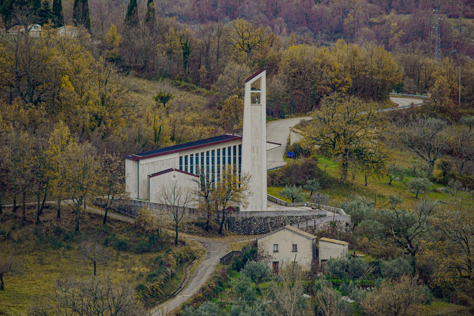
santuario, mariano, Maria SS.ma della Selice
About a kilometre from the town, at the foot of a hill called Monticelli, this early Christian sanctuary commands a valley threaded by the Fasanella and Calore rivers. On clear days, the view stretches from the Alburni Mountains to Vesuvius, the Lattari range, Capri, and the hills of the Gulf of Naples, a prospect that has beguiled travellers since the sixth century AD, when the sanctuary was first built. It is among the earliest Marian shrines in the area, erected in the twilight of the Roman Empire. Originally called ‘Madonna del Carpine’, after a legend that the Virgin’s image was found in a hornbeam tree, the site began as a small chapel. Over the centuries, the mule track was paved with flagstones, selici, to improve drainage and passage, and locals began to call it ‘Madonna della Selice’. The sanctuary remains a place set apart, where worldly troubles recede and the spirit might rise, untroubled, towards the sky.
Description via source. Coordinates and heritage data from the Atika atlas.