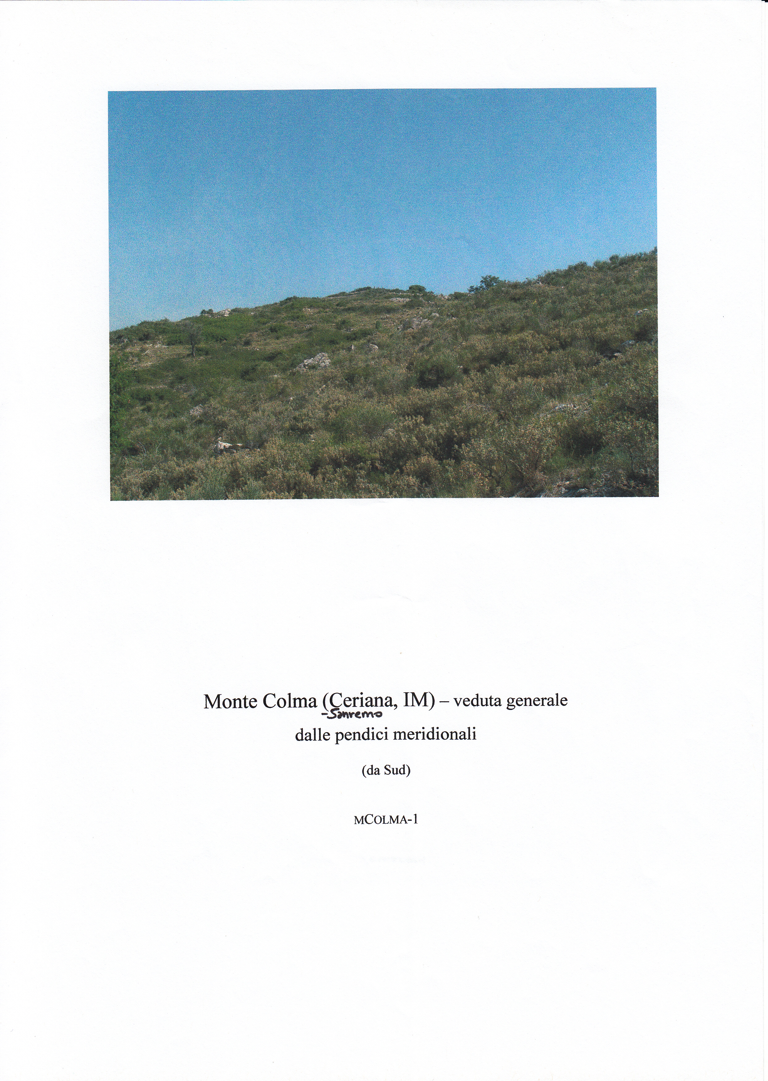
Monte Colma, Ceriana
On a modest spur of the eastern ridge above Sanremo, Monte Colma is an awkward, scrubby hilltop, its slopes dropping away steeply on all sides but one. A narrow saddle connects it to the higher spine of the ridge, and from there to Monte Bignone. The vegetation is sparse: low grass, Mediterranean maquis of heather, rosemary and thyme, scattered bushes and a great deal of bramble. What makes the place remarkable is the jumble of stone, great heaps of it, suggesting collapsed walls and what might once have been towers.
The site was identified during field surveys in 1961. Two small excavations on the western slope revealed a rectangular dry-stone building, six metres wide and at least seven long, dating from the early first century AD. It was a simple pastoral structure, perhaps a stable. It seems to have collapsed in the early second century, been re-used, and then burned. By the late second or early third century, the hill was abandoned.
Description via source. Coordinates and heritage data from the Atika atlas.