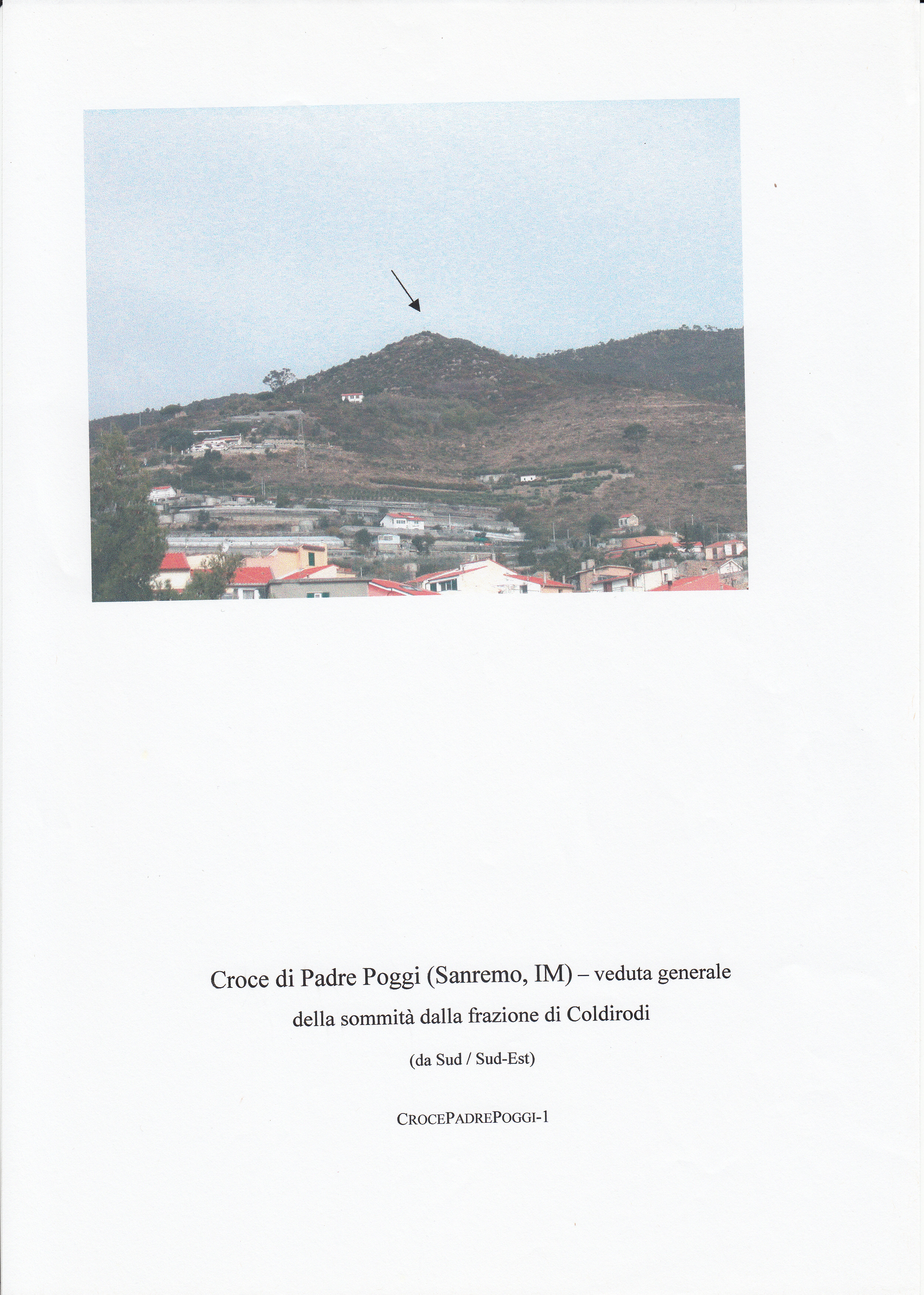
CROCE DI PADRE POGGI
On a commanding ridge above the Ligurian coast, the site called Croce di Padre Poggi occupies a natural stronghold, the first substantial rise on the spine running from Caponero. This was a hilltop settlement, a type common in the region during the Roman period, chosen for its defensible position and sweeping views. Archaeological surveys here, including one by the Soprintendenza in 2003, have turned up a telling scatter of pottery: fragments of a Massaliot amphora, others bearing volcanic inclusions from the Tyrrhenian area, Greco-italic amphora sherds, and coarse local wares. These suggest the site was part of a network of trade and contact, not an isolated outpost. The summit today is marked by an iron cross on a concrete base, but this modern monument appears to sit on something older: a roughly square structure, about four metres to a side, built of carefully dressed, dry-laid stone blocks. It may be the remnant of a watchtower, though its date remains uncertain. On the southern and western slopes, stretches of walling incorporate blocks of notable size, some over a metre long. The whole is half-swallowed by vegetation, a quiet ruin of an era when this height was a place to see and be seen.
Description via source. Coordinates and heritage data from the Atika atlas.