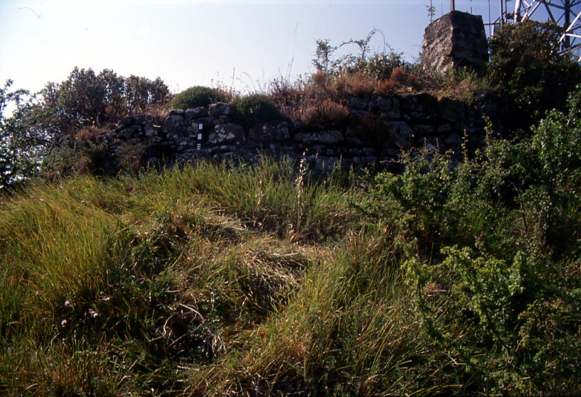
CIMA TRAMONTINA
At Cima Tramontina, a high ridge dividing the Nervia and Roja valleys, the past is a stubborn whisper beneath the present. The summit, a natural vantage point commanding sweeping views of the Ligurian coast and its plunging ravines, is now largely occupied by a bristling thicket of antennae and repeaters, their installation having violently disturbed the ancient ground. Among the scattered builder’s rubble, a few traces endure. A square stone structure, some five or six metres across, has been noted on the grassy southern plateau. More dramatically, the stump of a circular tower rises to the north, its dressed stone blocks still bound with mortar. Lower down, drystone walls of small and large rubble cling to the rocky spur. These are the fragments of a Roman-era site, perhaps a signal station or a fortified look-out, its purpose now as eroded as its masonry. Even the graves once recorded here, simple tile burials, have vanished from the visible record. What remains is a site of layered occupation, where ancient stone and modern steel compete for the same commanding air.
Description via source. Coordinates and heritage data from the Atika atlas.