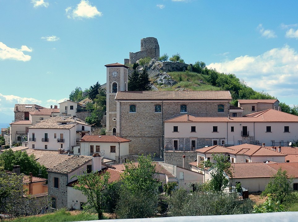
centro storico, montano, Rocca San Felice
Perched on a hilltop in the Irpinia region, Rocca San Felice is a medieval settlement whose origins lie in the early Middle Ages. At its crown stand the ruins of the castle, known as the Donjon, which once formed part of a fortified area recorded in ancient documents as Castellum Sancti Felicis and later simply as Rocca. What remains today of this defensive enclosure is the portal, the curtain wall, and a cylindrical tower. The fortress was built during the Lombard period to guard the border between the principalities of Salerno and Benevento; later, under the Angevins, it passed through various feudal hands.
The historic centre runs from the castle in the north down along the provincial road to the south. At the foot of the fortress, on via Croce, stands the church of Santa Maria Maggiore, built in the 12th century and rebuilt after the 1980 earthquake. The area has a long seismic history: the castle suffered collapses in the earthquake of 989, and later tremors in 1694 and 1732 caused further destruction.
Description via source. Coordinates and heritage data from the Atika atlas.