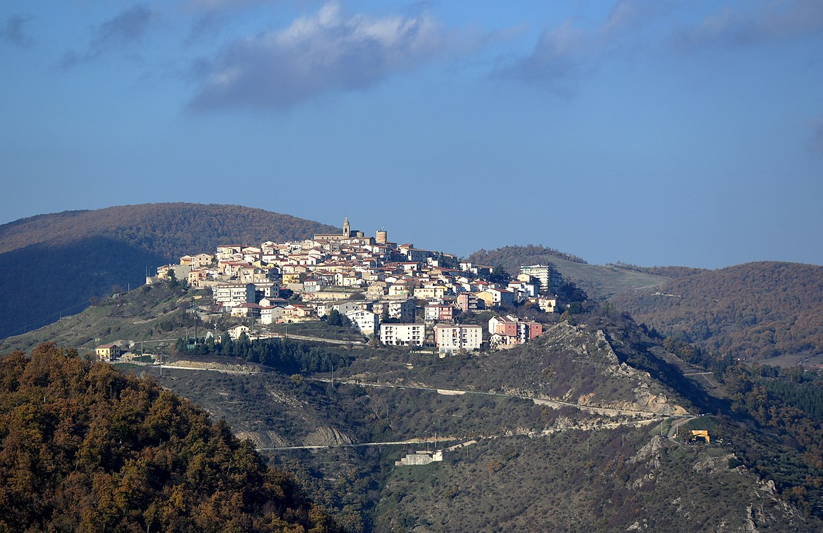
centro storico, montano, concentrico, difensivo, Albano di Lucania, Albano (denominazione storica, ante 1863)
Albano di Lucania, known simply as Albano before 1863, is a Byzantine-era borgo that clings to its mountain ridge with a defensive posture learned from centuries of upheaval. Its historic centre is a dense tangle of narrow lanes and alleyways, where ancient palazzi are punctuated by carved stone portals. These converge on two principal thoroughfares: Corso Garibaldi, tracing the older, lower part of the settlement, and Corso Vittorio Emanuele through the heart of town. The streets and piazzas, almost all cobbled, bear the names of historical figures, scholars and contemporary artists. At the highest point rises the mother church of the Assunta, its 13th-century core much reworked over time. Fortified by the Lombards against Saracen raids, the borgo later passed through Norman and Swabian hands as part of the County of Tricarico, and during the 1268 Ghibelline uprising it sided with the Angevins. By the late 17th century, it had become a duchy, held by the Ruggiero family until 1800.
Description via source. Coordinates and heritage data from the Atika atlas.