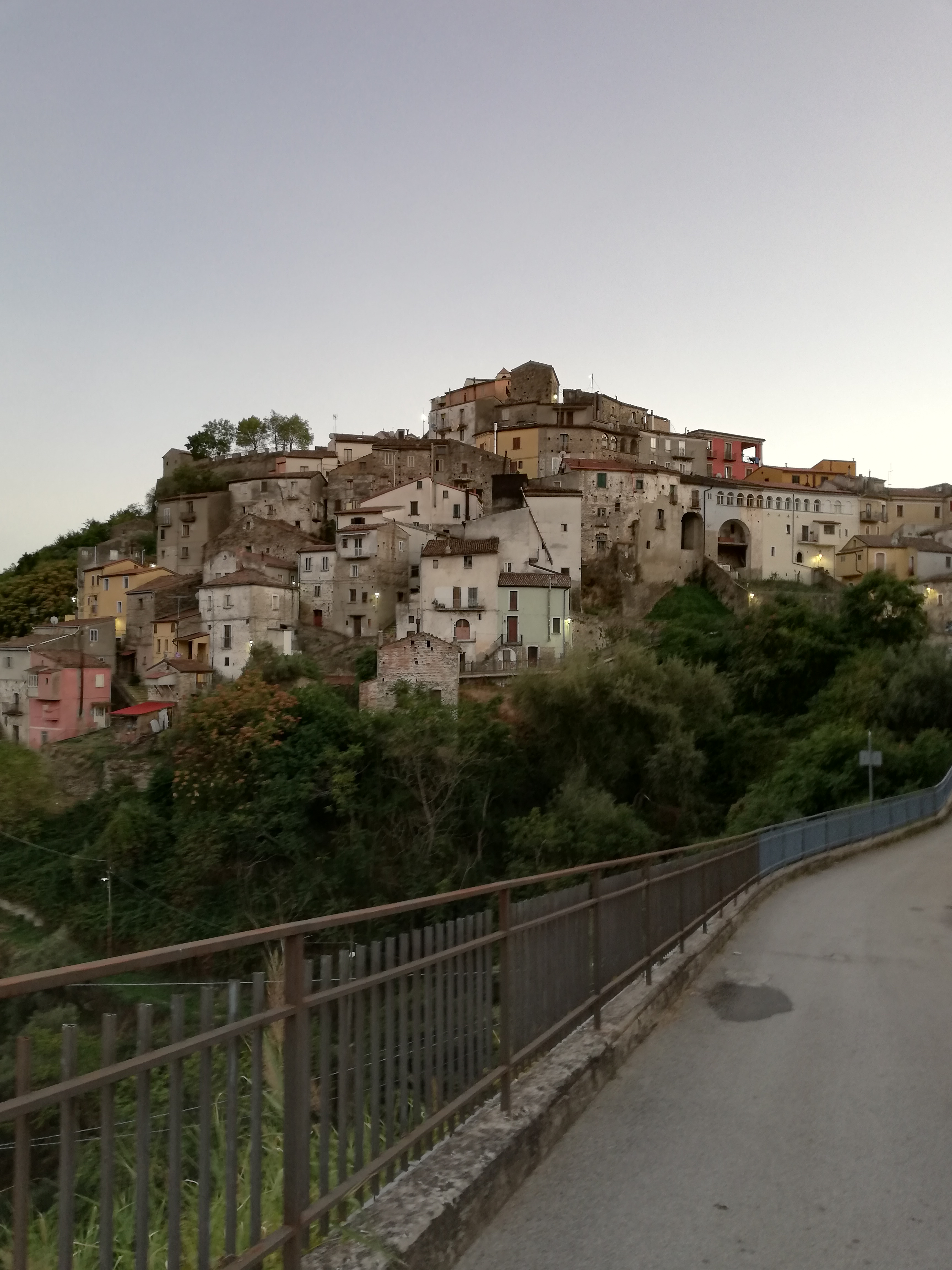
centro storico, montano, Armento
In the highlands of Basilicata, Armento is a hilltop borgo whose antiquity is worn into its stone. The ground here has yielded artefacts from very ancient times, and the modern settlement may occupy the site of Galasa, a city known from the Trojan War era and noted by Strabo. A Roman consul, Terenzio Lucano, once resided at a local estate called Casale, the ruins of which remain visible. In the early Middle Ages, the town was a centre for the Basilian monastic communities; it appears in documents from the 1060s, and was plundered by Saracens before passing from the Lombards to the Normans, who gave it to the bishop of Tricarico. Later rulers included the Sanseverino and Carafa della Marra families. The historic churches that survive, Sant’Antonio Abate (1630), San Rocco (recorded 1588), the Madonna del Carmine (built after a collapse in 1888), and San Vitale, are joined by the parish church of San Luca Abate, erected in 1957 after its ancient predecessor, dating from 1040, fell ten years earlier.
Description via source. Coordinates and heritage data from the Atika atlas.