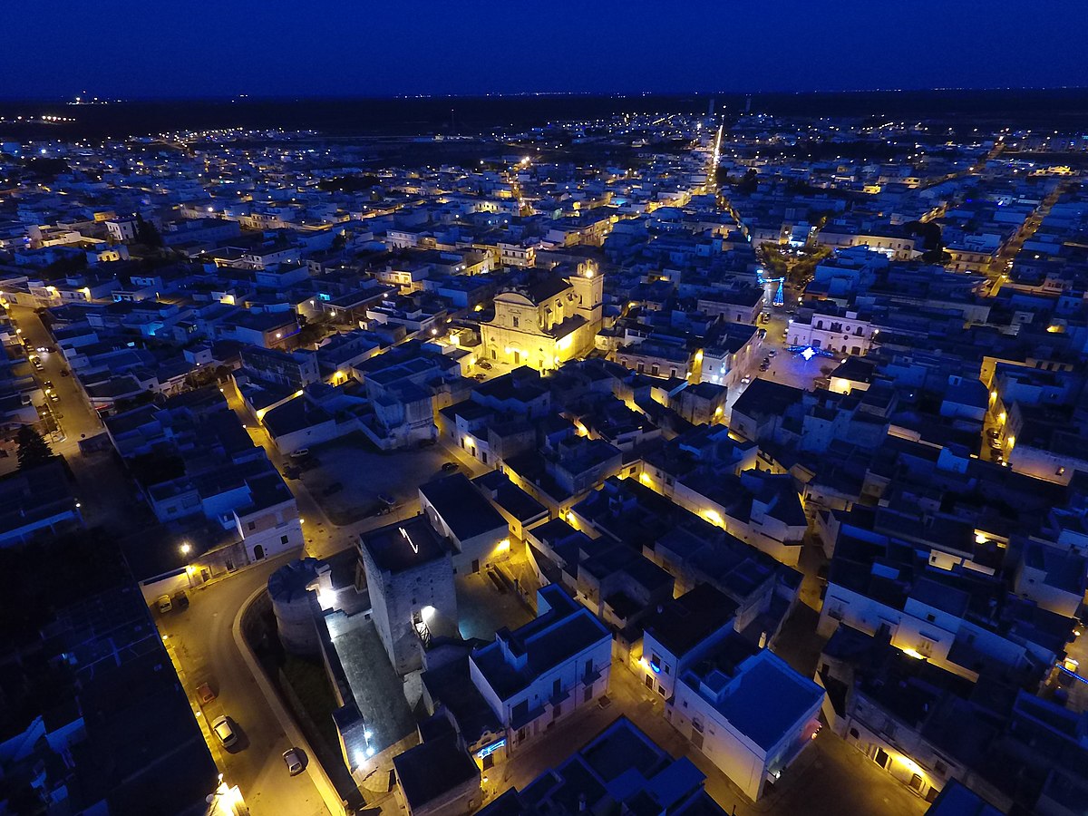
centro storico, di pianura, radiale, Avetrana, Vetrana (denominazione storica)
The medieval core of Avetrana, historically called Vetrana, is a study in survival and reinvention. Its irregular layout clings to the oldest part of the town, though little remains of the original fortified borgo. The most ancient nucleus clusters around the Torrione, an area still defined by the ghost of a moat and the line of vanished walls, where the old centre meets open countryside. The street plan is surprisingly rational for such an ancient place: a radial grid of straight, diverging roads.
The original settlement is thought to have formed from three nearby hamlets, Santa Maria, San Giorgio and Motunato, wiped out by Saracen raids in the 9th century. One theory suggests the name derives from Vetustus or Veteranus, later softened to Vetrana; another points to a garrison of veteran soldiers from Oria. Architectural witnesses include a 14th-century castle built over older defensive works, an 18th-century cathedral of notable artistry, a 9th-century chapel, and the Palazzo degli Imperiali.
Description via source. Coordinates and heritage data from the Atika atlas.