centro storico, di pianura, Lecce
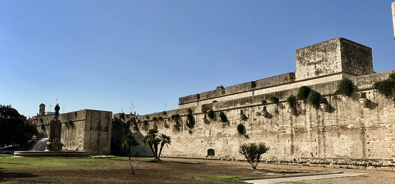
Lecce’s historic centre sits at the heart of a radial urban plan, its irregular medieval and earlier street pattern a legacy of Messapic, Roman, and medieval phases, when the city was contained within successive defensive walls. The original circuit, established in the Messapic era, was maintained with only small adjustments through Roman and medieval times, and largely survived into the sixteenth-century fortifications. The most significant outward expansion occurred eastwards, towards San Cataldo, where the walls eventually stabilised around the castle. In the sixteenth century, Lecce became a ‘città-fortezza’, its fortifications rationalised and geometrically reordered, though the radial growth beyond the old walls only began in earnest in the early twentieth century, without formal master plans. The city lies in the Valle della Cupa, a large karst depression in northern Salento, and its plan radiates from the tangled core into the more regular grid of the modern town, stretching nearly to the ring road.
Description via source. Coordinates and heritage data from the Atika atlas.