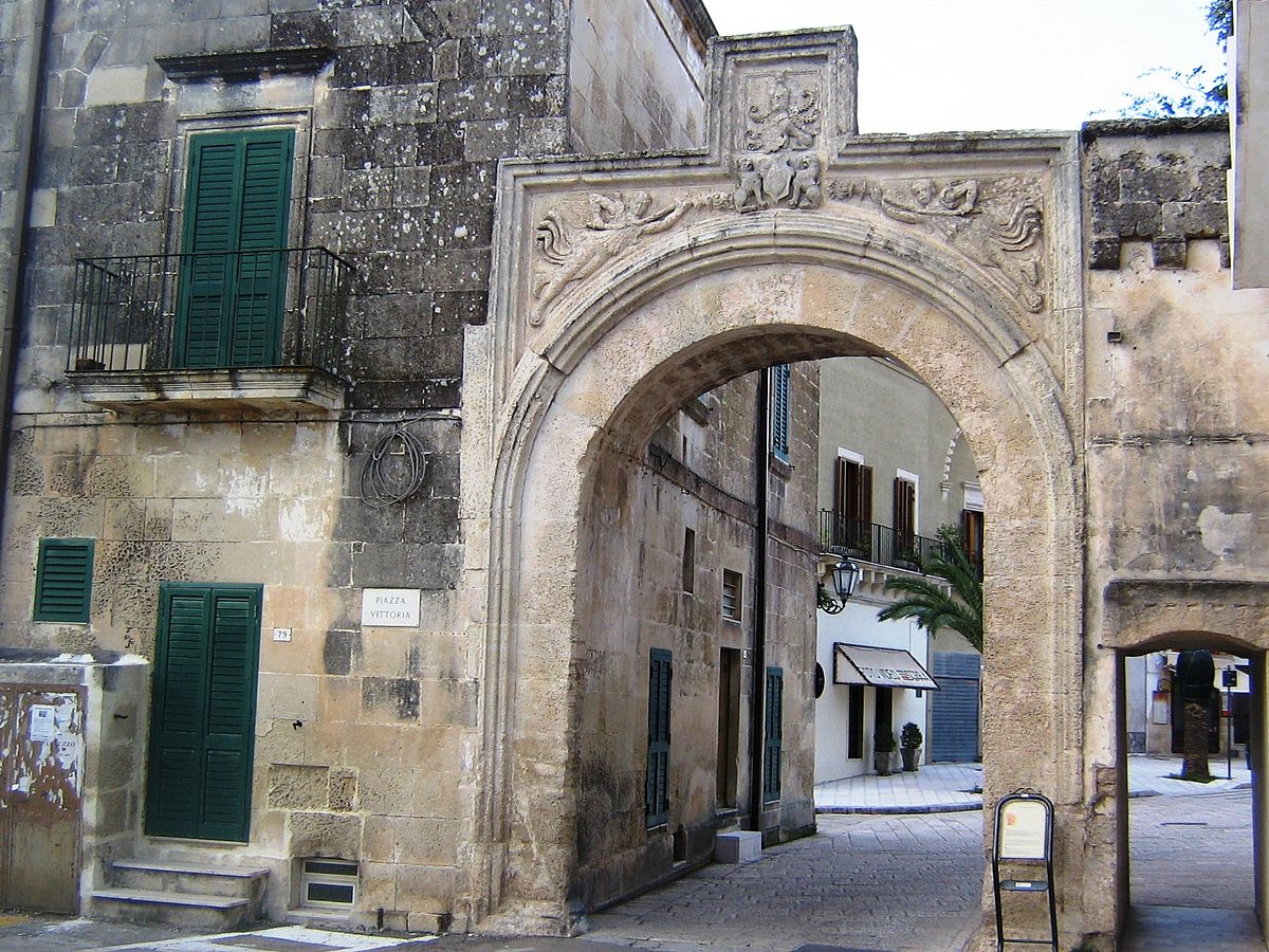
centro storico, di pianura, Corigliano d'Otranto, Corigliano (denominazione storica, fino al 1862)
This is a Salento hill town of ancient origin, its earliest nucleus still legible in the rectangular block between Via Capiterra and Via Cavour. The historic core was defined by a castle and a defensive wall, linked by a single longitudinal axis that ran between two urban poles: the castle itself and the parish church. At either end, a gate. This internal spine, divided into Via della Piazza and Via della Matrice Chiesa, widened at its midpoint into a square, where a votive column and the clock tower were later raised.
The settlement may date from Roman times; it certainly endured under Greek-Byzantine rule between the sixth and eleventh centuries, when Basilian monks established flourishing schools here. The Greek rite persisted until the late 1600s. The first written mention of Corigliano appears in 1192, when the Norman king Tancred granted it as a fief. Architectural survivals include a sixteenth-century baronial castle, the church of San Nicola rebuilt in 1743 beside a late-Gothic campanile from 1465, and the Arco dei Luchetti of 1497.
Description via source. Coordinates and heritage data from the Atika atlas.