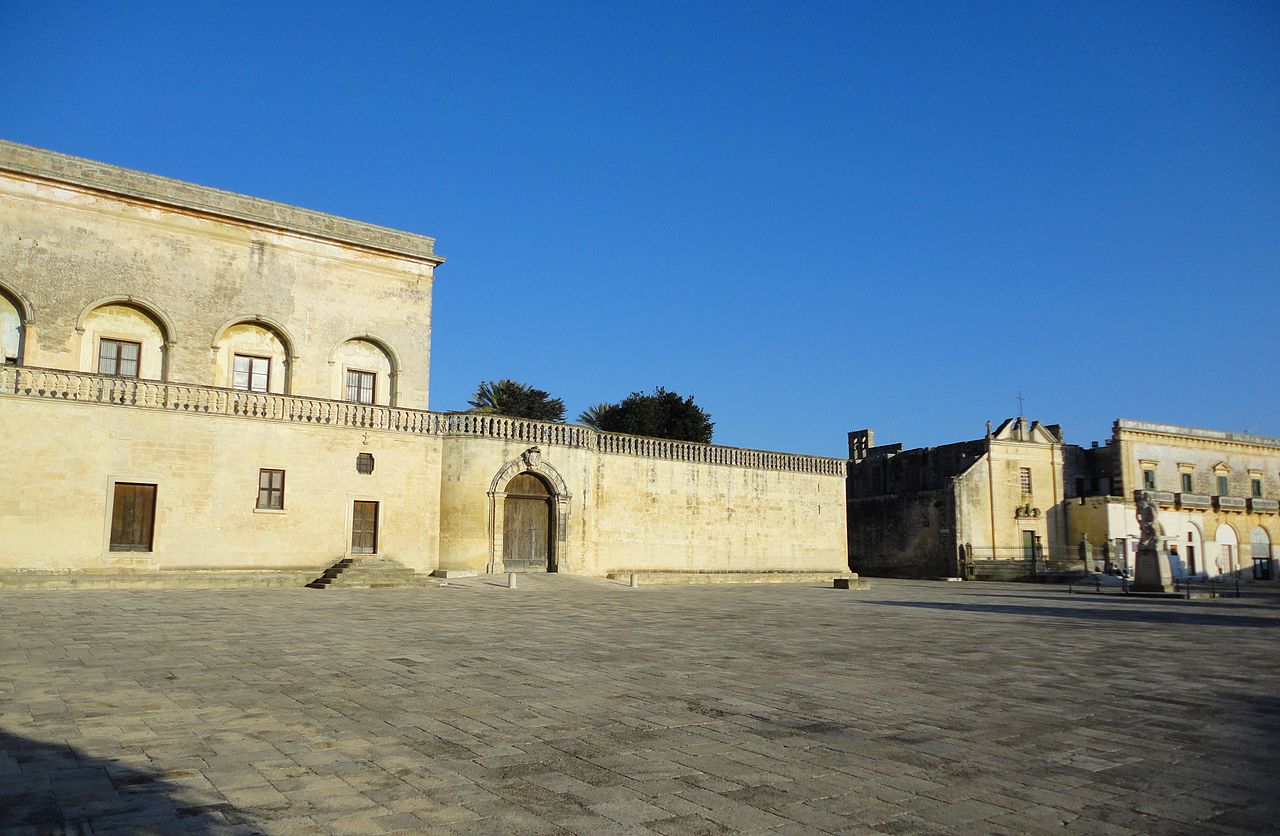
centro storico, di pianura, Botrugno
In the flat Salento countryside, the small historic centre of Botrugno follows an irregular layout, typical of a medieval borgo shaped by circumstance rather than design. Its foundation is thought to date from the mid-1100s, possibly settled by Greek populations or refugees from nearby Muro Leccese after that town’s destruction. The settlement’s existence is recorded from 1276, and it passed through several noble families, Capece, Maremonte, Castriota, before Italian unification.
The most commanding monument is the former Palazzo Marchesale, built by the Castriota family in the 1500s and remodelled in the early 1700s. Sacred architecture includes the Baroque church of the Madonna di Costantinopoli or Sant’Antonio; the 14th-century Cappella dell’Assunta, rebuilt in the 1700s; and the 17th-century Chiesa dello Spirito Santo, erected over an earlier chapel. The original nucleus grew around the area called ‘delle puzzelle’, a natural depression with wells behind the parish church, and near the older Palazzo Maremonti, the first baronial residence.
Description via source. Coordinates and heritage data from the Atika atlas.