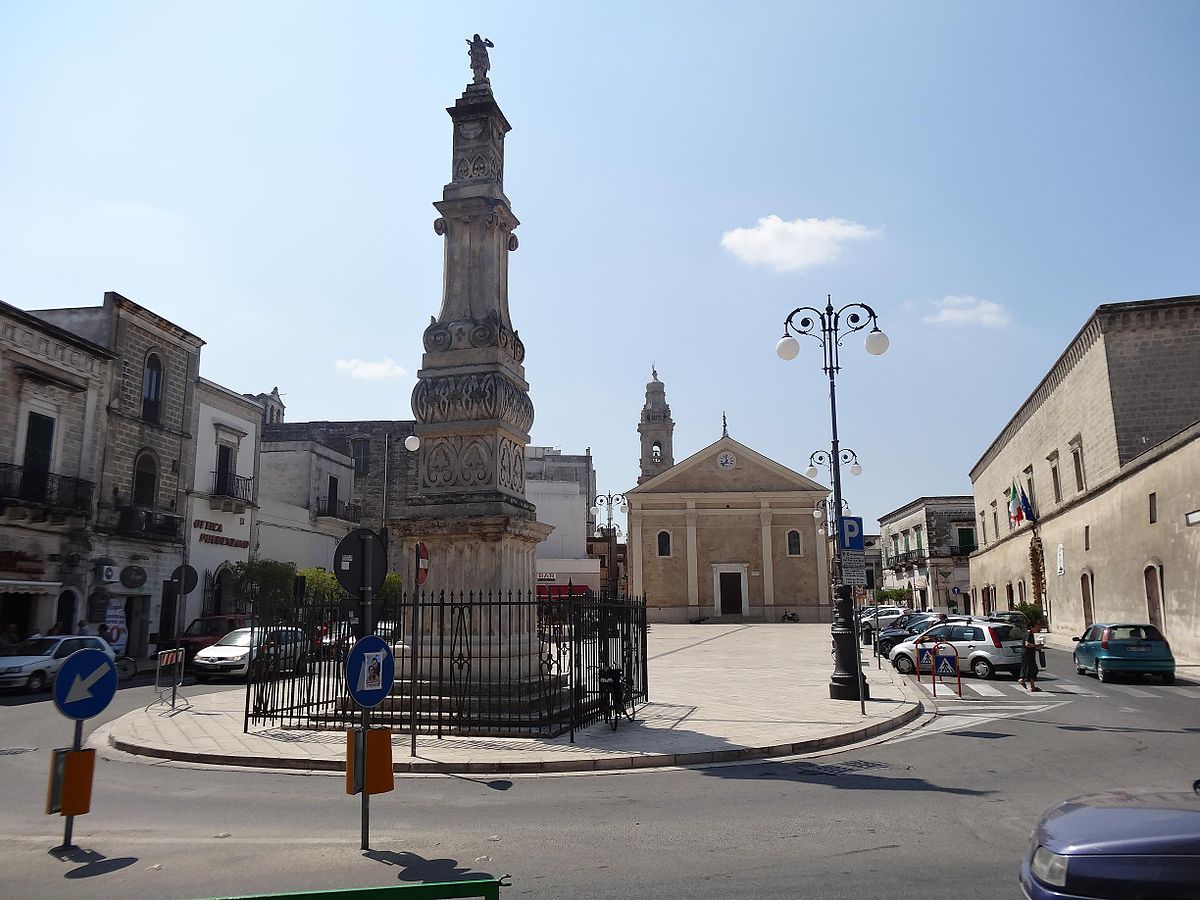
centro storico, di pianura, agricolo, Sava
In the flat agricultural plain of Apulia, the medieval borgo of Sava gathers around Piazza San Giovanni, its historic core. The square is a small anthology of local power through the centuries: the seventeenth-century mother church, dedicated to San Giovanni Battista and heavily reworked in the 1700s; the cinquecentesca church of Mater Domini; and the former Baron’s Palace, built by the Prato family in the sixteenth century, now the town hall. Nineteenth-century rectifications brought orderly streets like Corso Vittorio Emanuele and Via Regina Margherita into the piazza.
Sava’s origins reach back to the thirteenth century, when inhabitants from the nearby hamlets of Pasano and Aliano founded it. The earliest documentary mention of the casale dates to 1417, though it was later abandoned during the violent succession wars between Angevins and Aragonese. Repopulated by Albanian families in the fifteenth century, the fief passed from the Mayro of Nardò to the Lecce-based Prato family in 1520, then to the Jesuits in 1741, and finally to the noble De Sinno line.
Description via source. Coordinates and heritage data from the Atika atlas.