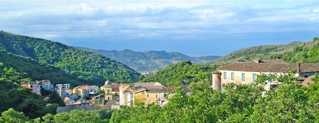
centro storico, di pianura, agricolo, produttivo, Capitignano
Capitignano, the administrative heart of Giffoni Sei Casali, is a mountain settlement of medieval layout that still holds its ancient bones close. At its centre rises the Church of San Martino Vescovo, built upon the remains of a Roman basilica that once marked the site of the old Caput Jani, from which the name is thought to derive. In the piazza before the church stands a stone fountain, dated 1780; nearby is the Church of Santa Maria della Pace.
The Catalogus Baronum records the name, which has prompted much etymological speculation. Some link it to a Greek phrase meaning ‘land of slaughter’, a reference to the martial character of its inhabitants. The wider Giffoni territory lies in the area of ancient Picentia. After the Roman defeat of the Picentini, the survivors of destroyed Picenza abandoned the plain for the mountain slopes, forming thirty-six small villages, or casali, which later coalesced into the State of Giffoni. This was a Lombard county, passing through Norman, Angevin and feudal hands before the abolition of fiefs in 1806 gave rise to the two modern communes.
Description via source. Coordinates and heritage data from the Atika atlas.