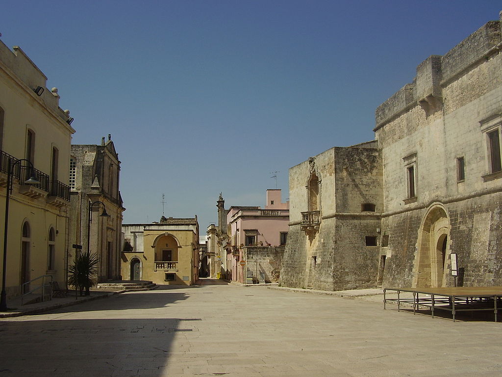
centro storico, di pianura, agricolo, difensivo, Andrano
On a flat coastal plain in southern Italy, Andrano is a small agricultural borgo with ancient roots. Its medieval core, still legible within the modern street plan, is a regular grid of blocks centred on the via di Mezzo, the spine along which the larger residences and the sixteenth-century church of the Dominicans stand. This main axis opens at its southern end into the present-day Piazza Regina Margherita, where the castle and the eighteenth-century parish church face each other across the square.
The settlement’s origins are defensive: it was established in the fifth century on the site of a destroyed village, in response to Vandal and Barbarian incursions. The castle, first documented in the thirteenth century, was substantially remodelled in the 1580s by the Saraceno family, who enclosed it with walls pierced by two gates, beside the larger of which stood the town seat (Sedile). Over the centuries, Andrano passed through the hands of several noble families, from the De Hugot to the Caracciolo, each leaving their mark on this orderly, introspective little town.
Description via source. Coordinates and heritage data from the Atika atlas.