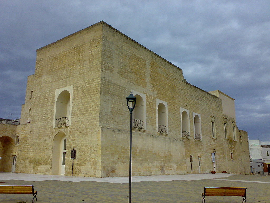
centro storico, di pianura, a scacchiera, agricolo, Arnesano
The little medieval borgo of Arnesano, laid out on a flat agricultural plain, is a study in rational order. Its streets, narrow and intersecting at right angles, fan out from a single main road that once led from Lecce, forming a neat grid plan. At its heart stands the church of the Annunziata, rebuilt at the end of the sixteenth century, while scattered farmhouses and gentleman’s villas dot the surrounding countryside.
Human presence here is ancient: Neolithic remains and a rock-cut tomb with grave goods have been found, though no Messapic artefacts survive. Yet the very name ‘Arnesano’ may derive from the Messapic arnises, meaning a hollow or depression, a fitting echo of the local topography. The Romans reorganised the territory as nearby Rudiae declined, funnelling roads towards Lecce and establishing a settlement pattern that persists today. The Byzantine period, by contrast, left so little mark that historians suspect a demographic hiatus and a breakdown of the physical landscape. Only with the Norman arrival did the area revive, its open, unfortified casali signalling a new stability.
Description via source. Coordinates and heritage data from the Atika atlas.