centro storico, di crinale, Mormanno, Miromagnum (denominazione storica, secolo XIII), Miromando (denominazione storica), Mormando (denominazione storica), Miromannum (denominazione storica), Miromagna (denominazione storica), Miromagno (denominazione storica, secolo XIII), Miromanno (denominazione storica), Merimagnum (denominazione storica), Murimanno (denominazione storica), Mormannum (denominazione storica), Mirimagum (denominazione storica), Mironanus (denominazione originaria, secolo X-XII), Muromannas (denominazione storica, secolo XI-XII)
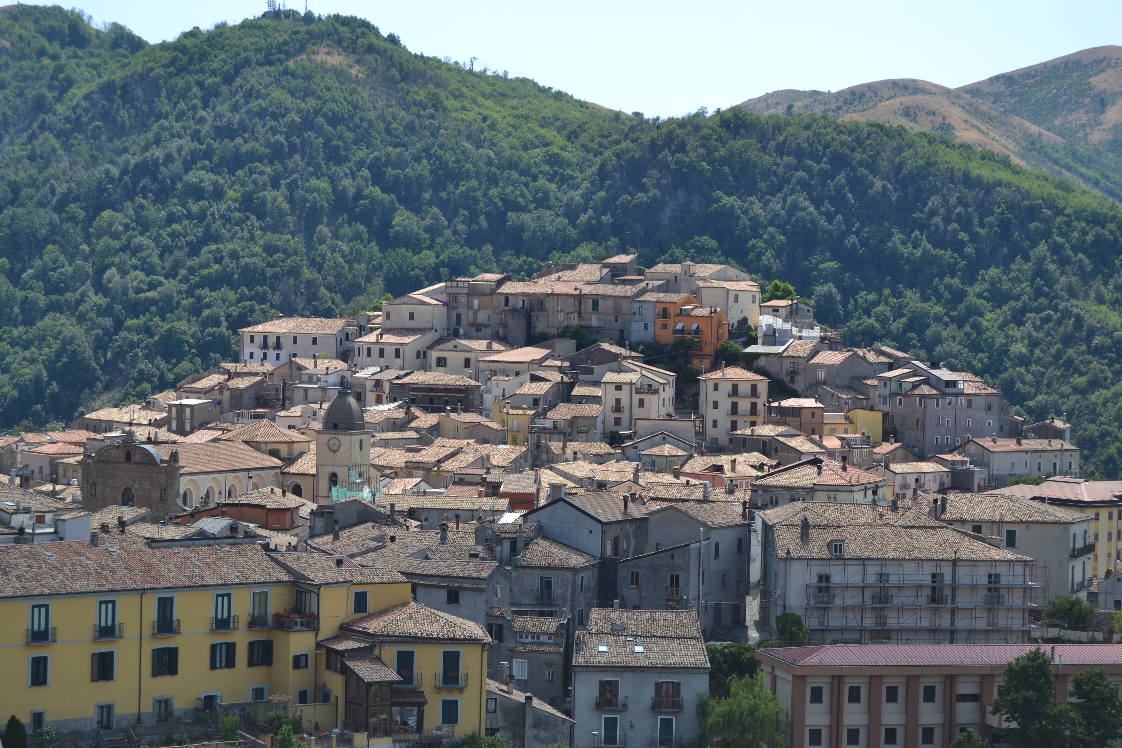
The historic centre of Mormanno unfolds across four hills, a settlement pattern that speaks to centuries of organic growth. The oldest quarter, to the west, is known as La Costa, where the commanding position north of the Lao valley suggests an early strategic choice for habitation. Here, structures descending from the Chiesa dell’Annunziata and the remnants of an even older building, date still uncertain, hint at the village’s deep roots.
Moving east lies the San Michele quarter, with San Rocco to the south marking the entrance to the main corso, and the Torretta to the north. Descending toward the Sant’Anna district, one reads the town’s expansion clearly: successive rings of walls and gates trace the outward growth from the summit toward the valley. The urban fabric is organised into distinct rioni, Capo lo Serro, Costa, Torretta, Casalicchio, each with its own character. Key viewpoints include the Faro votivo ai caduti calabresi and the Belvedere Rione Annunziata, offering perspectives across this mountain settlement at 840 metres above sea level.
Description via source. Coordinates and heritage data from the Atika atlas.