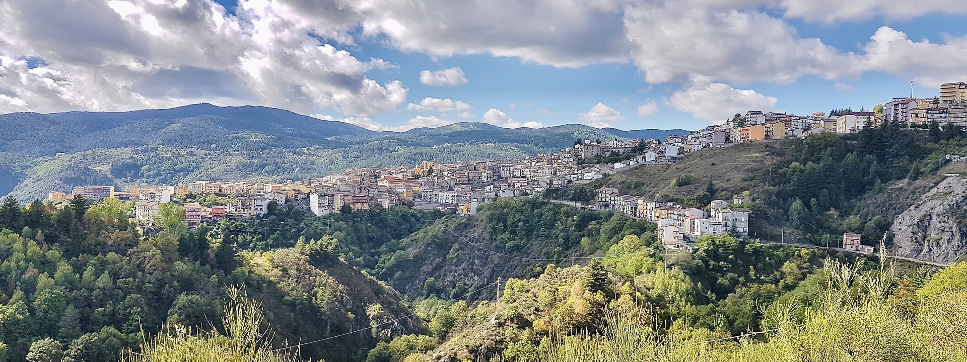
centro storico, di crinale, montano, spontaneo, San Giovanni in Fiore
High in the Sila massif, where soft, forested mountain flanks rise to nearly two thousand metres, San Giovanni in Fiore sits as a spontaneous, ridge-top borgo. This is the Calabro-Peloritano Arc, a geological patchwork of sedimentary rock, micaschist, gneiss and granite, carved by parallel east-west river valleys and punctuated by three artificial lakes, Cecita, Arvo and Ampollino, created for hydroelectric power. The town’s medieval Norman origins are legible in its layout: a system of rioni, Cortiglio, the original urban nucleus, then Petraro, Timparello, Cappuccini and others, climbing the spine of the ridge. The main route, Piazza Abate Gioacchino, follows this crest, while Via Roma runs as the matrix road. Just beyond the historic centre, at Jure Vetere, lie the remains of the old abbey founded by the Abbot Gioacchino himself, the first settlement here. A small garden at Stragola, with a memorial stone, recalls the Bandiera brothers.
Description via source. Coordinates and heritage data from the Atika atlas.