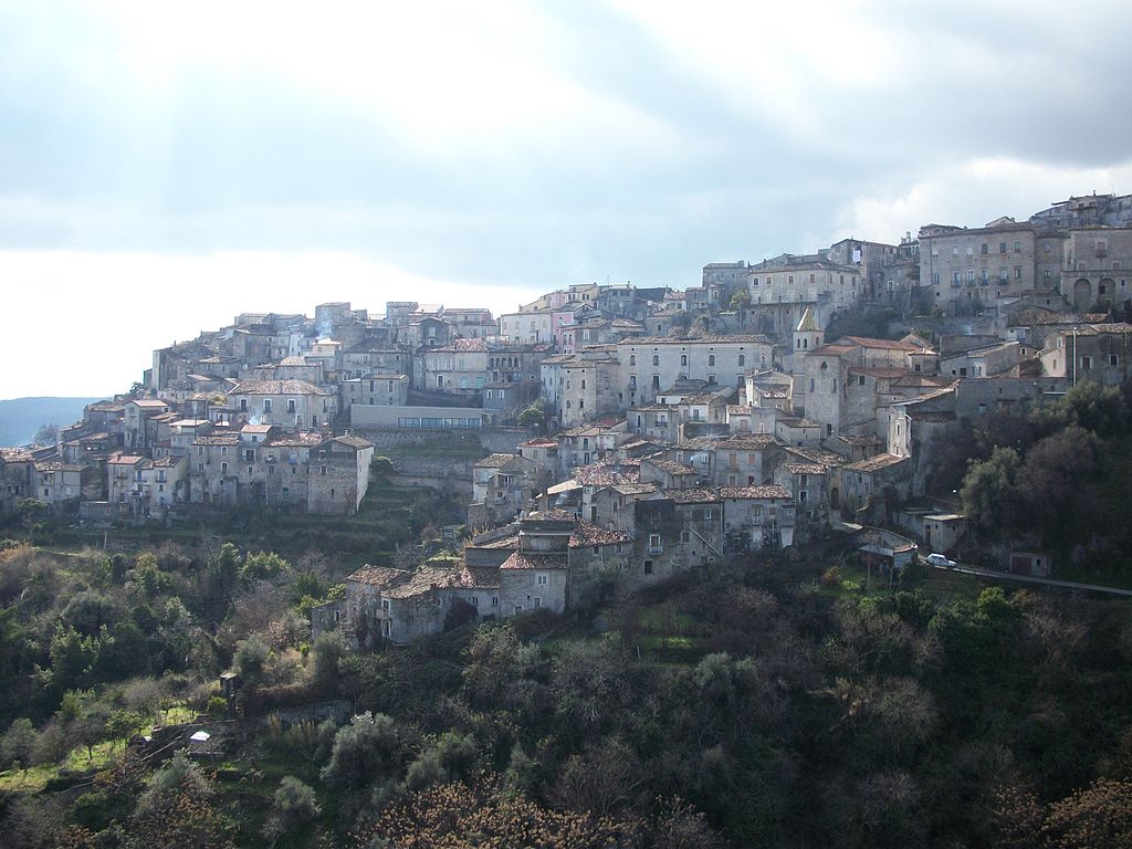
centro storico, di crinale, montano, spontaneo, difensivo, Saracena, Saracina (denominazione originaria, X sec.), La Saracena (denominazione storica)
Saracena, once known as Saracina, is a Byzantine-era borgo perched high on a Calabrian ridge, a spontaneous, defensive settlement that grew from the rock. Its name, from the 10th century, hints at a frontier history, but the place itself is all about position. The landscape is dramatic: to the west, towering limestone-dolomite peaks and epizonal metamorphic rock; to the east, softer Tertiary and Quaternary basin soils. Fault scarps plunge over 800 metres into the Raganello gorges, and the hydrogeology is a mix of impermeable ground and carbonate rock, feeding the Crati, Garga and Lao rivers. The urban fabric is tight and watchful. Piazza Santo Lio and the ex-Capuchin convent offer far-reaching views; the garden of Palazzo Mastronardi is a quiet green retreat. The main routes, the SP169 and SP143, run along counter-ridge lines, while Via Vittorio Emanuele traces the spine. This is a village that never forgot it was a lookout.
Description via source. Coordinates and heritage data from the Atika atlas.