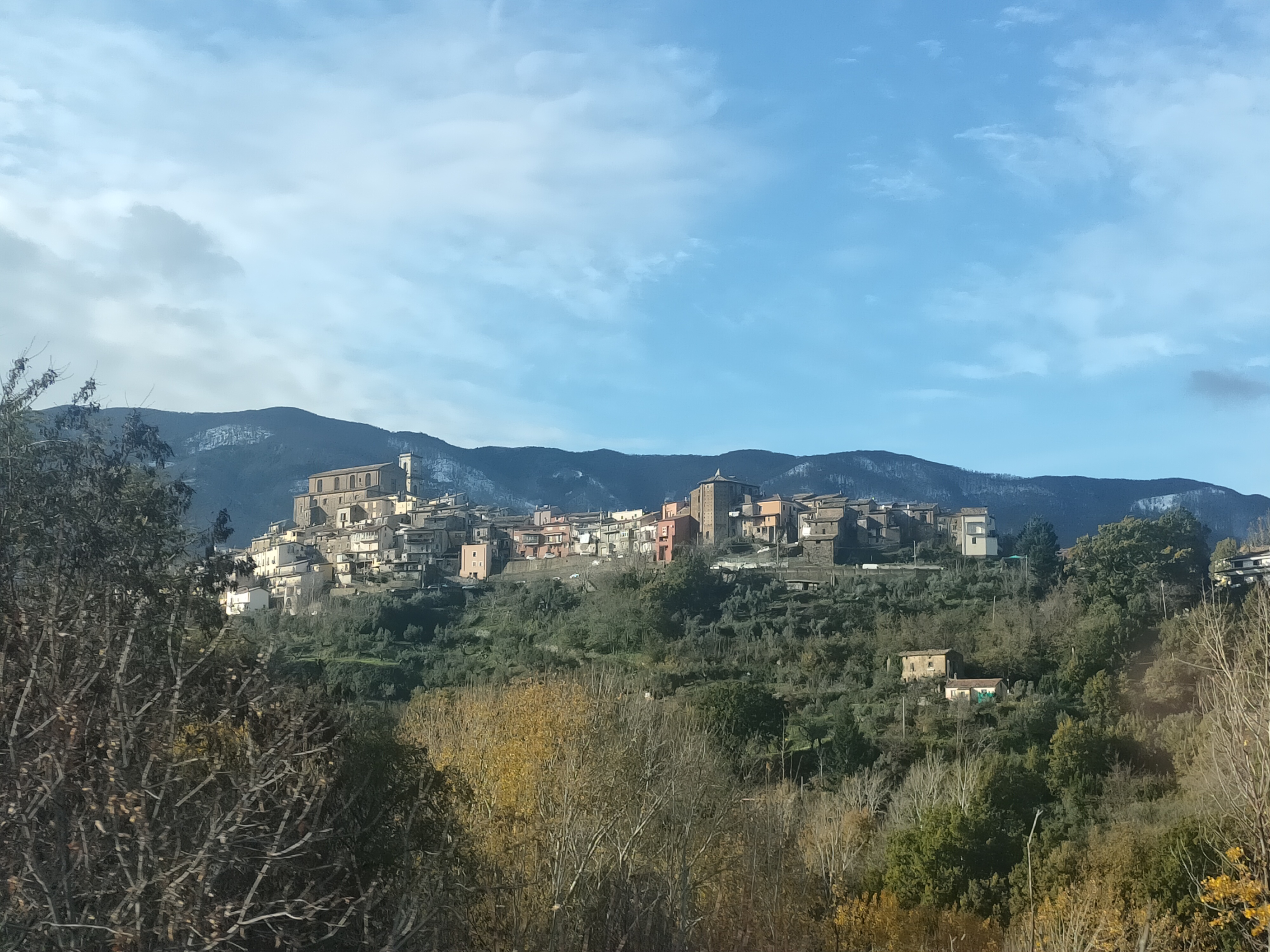
centro storico, di crinale, collinare, spontaneo, religioso, San Fili, Sancti Felicis (denominzione storica, cit. 1267/10/07), San Felice (denominazione storica, cit. 1269-1270), San Fili (denominazione attuale, dal 1811)
On a spur of the Crati valley, where the coastal chain breaks into hills and the geology turns to ancient crystalline rock, San Fili grew not from a plan but from a path. Its medieval core, still divided into the Jazza and Cruce quarters, is a network of cobbled lanes that follow the ridge lines. These are not streets laid out by a surveyor but routes worn by feet and livestock, climbing and dropping with the land.
The first mention of a casale here, called Sancti Felicis, appears in a document from October 1267. The place has since collected churches as the centuries passed: a sixteenth-century Sant’Antonio, a seventeenth-century Santo Spirito, a Madonna dell’Annunziata rebuilt in the eighteenth century. The newest, the Carmine, arrived around 1920. From the Muraglione, the view runs from Monte Cocuzzo down to the river, a panorama that has changed far less than the settlement at its foot.
Description via source. Coordinates and heritage data from the Atika atlas.