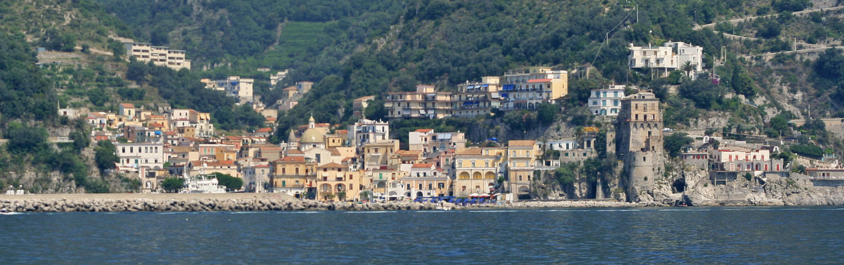
centro storico, costiero, lineare, portuale, Cetara, Citara (denominazione storica)
Along the Amalfi coast, Cetara (once Citara) unspools from the sea into the hills along a single carreggiabile road: a linear, coastal borgo with roots in the early Middle Ages. This has always been a fisherman’s town, the name likely derives from Cetarii, the ancient fish merchants. In earlier centuries, the coast was largely uninhabited, possibly under the jurisdiction of the Etruscan city of Marcina. The Viceroy’s Tower, built under the Angevins and later fortified by the Aragonese, guarded not only against Turkish invasions but also against local pirates who launched from the tight coves. Among the historic architecture: the church of San Pietro Apostolo, built in the late ninth century as Norman Salernitans displaced a Saracen community; a late-fourteenth-century Franciscan complex with church, cloister, and confraternity cells; and the Chiesa della Madonna di Costantinopoli, erected 1868-1870 and partly rebuilt in 1921, set high against the newer part of town.
Description via source. Coordinates and heritage data from the Atika atlas.