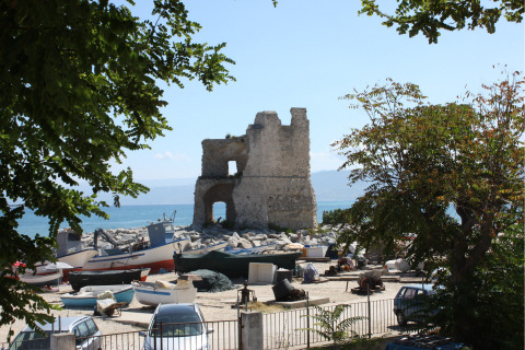
centro storico, costiero, Briatico, Euriàtikon (denominazione originaria, XI secolo)
The old centre of Briatico, on Calabria’s Tyrrhenian coast, was rebuilt in the eighteenth century to a rational, orthogonal plan. Its origins are older: known as Euriàtikon in the eleventh century, the site was a Norman borgo. The reconstruction, however, was a piece of Enlightenment town planning.
Two main arteries, Corso Umberto and Corso Margherita, run parallel east, west, crossed by nine north, south streets. The resulting grid divides the land into neat rectangular blocks, twenty almost equal plots in two rows. At the heart of this reticulated scheme lies a great square, seventy metres to a side, where the parish church was built and the market held. The ground was provided by the feudal lord; the design was drawn by engineers Antonio Fortini and Giuseppe Vinci, following instructions from one Vivenzio.
Today, walking these straight, level streets, you see the typical edifice of the period: the palazzi of the nineteenth century, sober and solid. The geometry is clear, the intention unmistakable: a new town, orderly and defensible, set down on an ancient shore.
Description via source. Coordinates and heritage data from the Atika atlas.