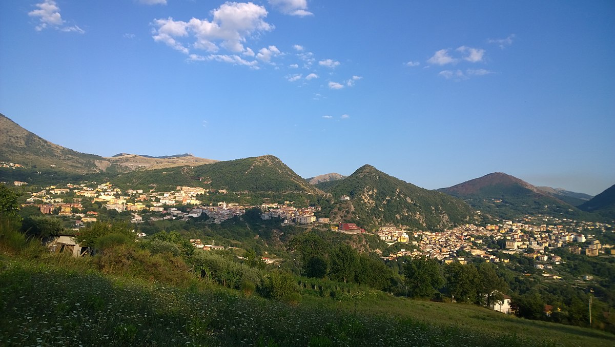
centro storico, collinare, religioso, Lauria, Uria (denominazione storica, cit. 1079)
On the spine of a Lucanian hill, Lauria is a medieval settlement of two halves, Superiore and Inferiore, divided by the ancient quarter of Ravita. The older, upper town, the “Castello”, clusters around a ruined Norman fortress, its walls and towers rising on the peak of Mount Armo. Below, the “Borgo” spreads out, its houses clinging to the slope, connected by a web of narrow lanes, arches and porticoes that climb the hillside in characteristically medieval fashion.
The settlement’s origins are older still: a tenth-century Byzantine laura (a hermit’s cave monastery) once stood here, later replaced by a sanctuary. It was likely the Saracens who first built the castle, before the Normans made Lauria the political and commercial centre of the Valle del Noce. The churches, San Nicola, the old Assunta, San Giacomo Maggiore, and the convents, bear witness to centuries of layered history, but the real story is in the stone: in the scramble of houses, the steep, secret alleys, and the commanding view from the castle walls.
Description via source. Coordinates and heritage data from the Atika atlas.