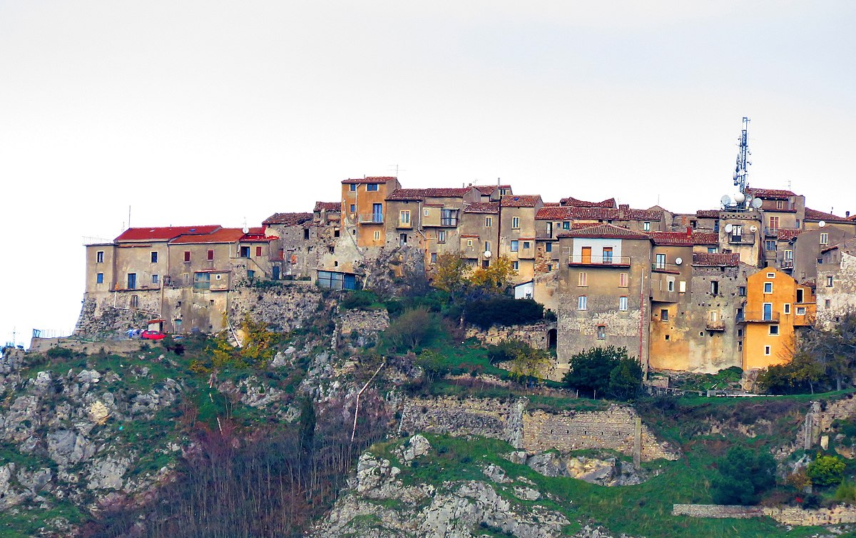
centro storico, collinare, murato, difensivo, Caggiano
Caggiano’s historic core, a Roman-medieval settlement wrapped in tenth-century walls, clings to a rocky outcrop in a landscape as bare and stony as neighbouring Basilicata. The Norman period left its mark here, but the approach remains as it was: accessible only from the east at Piazza Lago, or from the south and west via a path from the Grottone lane that reaches the Church of Santa Veneranda just beyond the walls. To the north, a natural precipice called Costa del Terrazzo seals the town off entirely. Within this defensive circuit, the medieval castle sits embedded in the curtain wall, its three cylindrical towers rising to define the settlement’s silhouette. The original thoroughfares, via dei Capolanzi, via dei Greci, via San Gennaro, once converged on the Church of Santa Maria dei Greci. But as the walls expanded, the main axis shifted, settling along via Roma, via San Pietro, piazzetta Santa Caterina and via Marevicino, a reordering reinforced by the arrival of the castle and the Latin-cross church of San Salvatore. The result is a layered, legible hierarchy of stone and space.
Description via source. Coordinates and heritage data from the Atika atlas.