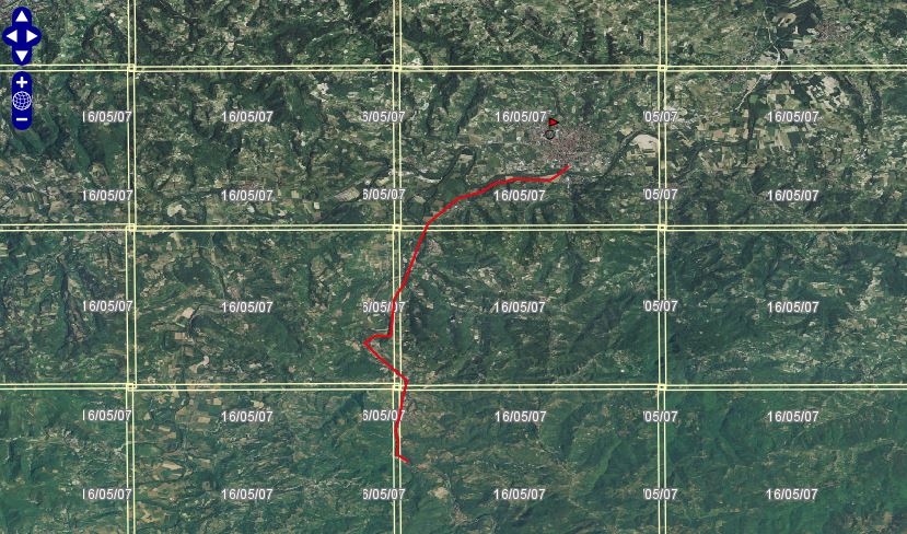
Acquedotto romano (resti) di Aquae Statiellae
The Roman aqueduct of Aquae Statiellae is the best-preserved monument of its kind in Piedmont, and one of the most remarkable hydraulic engineering works in all of northern Italy. Dating from the early Imperial period (beginning of the 1st century AD), its reconstructed course runs for about 12 kilometres across three municipalities of the Alessandria province: Cartosio, Melazzo and Acqui Terme. The gradient drops roughly 50 metres, yet maintains a constant slope, a feat of precise surveying. The catchment basin was identified near Cartosio, where the Erro torrent slows and pools into a small lake. The aqueduct is largely subterranean, visible only at entry points; it can be traced in the Erro riverbed, then along its right bank into Melazzo, and finally across a small valley to reach Acqui Terme. Roman aqueducts were engineered to carry water over long distances using gravity alone, and this example demonstrates the sophistication of that technology in the region.
Description via source. Coordinates and heritage data from the Atika atlas.