Vassa
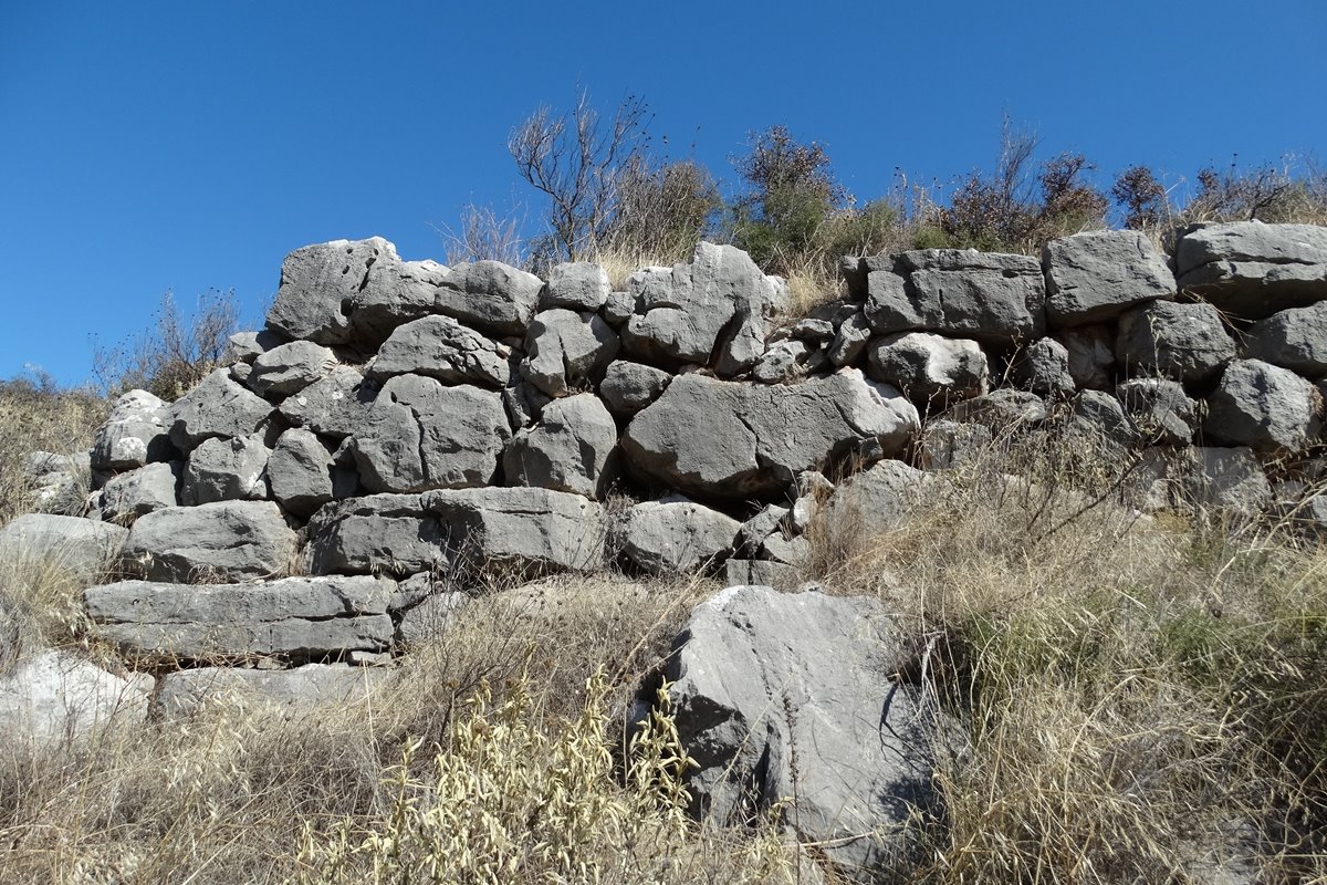
On a low but steep hill three kilometres east-southeast of Dimaina in Argolis, Vassa offers a tangle of ruins that span two very different ages. The older fortification, a Mycenaean acropolis, survives as dry stone walls two metres thick, built from large, barely worked boulders, visible on the south, east and north sides; the southern stretch can even be made out from the foot of the hill. The western side tells a later story. Here the masonry shifts to smaller, unhewn stones, a style associated with Othon de La Roche, the Frankish lord of Athens who, after 1205, campaigned against the Byzantine ruler Leo Sgouros and raised several forts in the region. This western wall, now reduced to rubble, ran about 1.80 metres thick and ended in two large towers, each roughly twenty metres in diameter, with slimmer walls of 1.50 metres. Near the south tower lie the ruins of two substantial buildings. Nothing is recorded of Vassa's history beyond a village named Vesus in the Venetian census of 1700, leaving its medieval phase a matter of informed guesswork.
- Kastra.eu, Castles of Greece · reference
Coordinates and heritage data compiled in the Atika atlas.