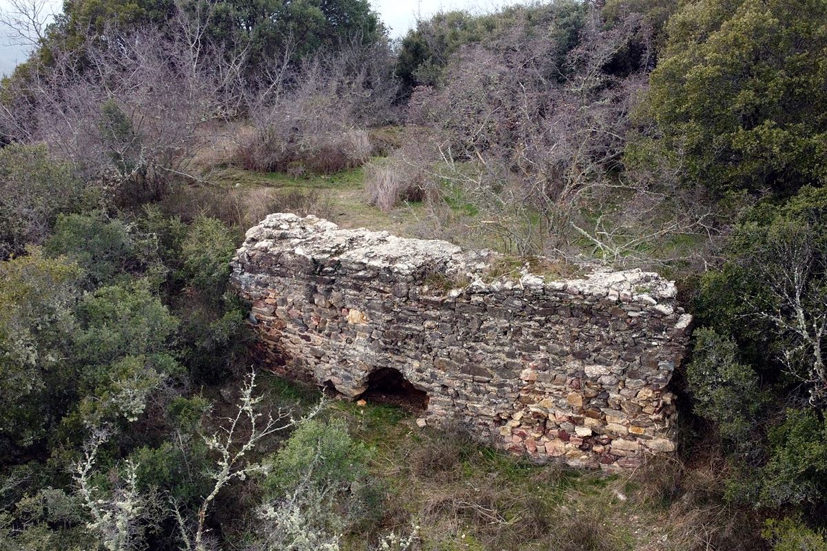
Strymonikon
On a wooded hill called Kales, two and a half kilometres west-southwest of Strymoniko in the Serres prefecture, lie the scant remains of a fortification about which almost nothing is known. No historical source names it, and it has not been matched to any castle in the record. The hill, part of the Krousia range, rises beside the modern Serres-Thessaloniki road, with a stream at its northern foot. The perimeter wall ran to roughly 450 metres, built of stones of varied size bound with mortar and pottery fragments. The best surviving stretch, at the southeast corner, is about eight metres long, two and a half high, and one and a half thick, placed where a neck joins the hill to a higher slope and the position was most exposed. Elsewhere, the wall survives only to a metre or two. No tower has been found. The archaeological service dates the surface finds mainly to Roman times with Byzantine fortification remains, so it was likely raised in late antiquity, perhaps the third century, when rural populations sought refuge from barbarian incursions, and abandoned by the seventh.
- Kastra.eu, Castles of Greece · reference
Coordinates and heritage data compiled in the Atika atlas.