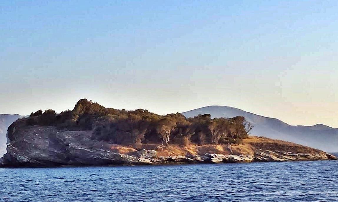
Sipia
The islet of Sipia, also known as Sepia, Soupia or Soupeza, is an uninhabited rocky outcrop in the Myrtoan Sea, at the eastern end of Troizinia, within the Strait of Hydra. Its ruins, including port facilities, cisterns and fortifications scattered among wild olive trees, date to the early Byzantine period, with surface finds suggesting activity in the 7th or 8th century. Byzantine coins of Emperor Constans II, who reigned from 641 to 668, have been identified here, pointing to a likely construction date around the middle of the 7th century, when Saracen raids drove coastal populations to seek refuge on islands and islets. No historical sources, traveller accounts or old maps mention any settlement, and the site has never been systematically studied. The fortification probably did not last long, as the islet offers little natural protection, and it was likely abandoned early. A coastal tower is visible from a distance, though some researchers suspect it may be a later addition rather than part of the original Byzantine works.
- Kastra.eu, Castles of Greece · reference
Coordinates and heritage data compiled in the Atika atlas.