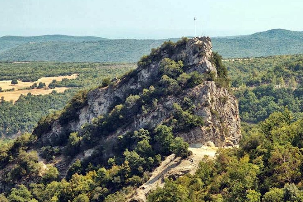
Petra
The castle of Petra clings to a steep rock at Karakoli, near the 23rd kilometre of the Katerini-Ellassona road, 1.5 km south of Fotina and 4 km north-west of Petra village in Pieria. The rock itself is unmistakable, though the ruins are faint. The site guards the northern end of the Petra Straits, a historic passage between Macedonia and Thessaly. Church documents from the early 10th century list Petra as a bishopric under the metropolis of Thessaloniki, so a Middle-Byzantine town of some standing existed by then. An ancient inscription hints at Roman origins, and the settlement likely moved to this defensive height after the 6th century to escape barbarian raids. In April 1343, during the second Byzantine Civil War, it passed to John Kantakouzenos, then in 1345 to Stefan Dusan, who gave it to his half-brother Symeon Ouros Palaiologos. The Ottomans took the region in the 1380s. The settlement covered under three hectares, with a cistern fed by a pipe from Mount Titaros, a cruciform church, tiled-roofed stone buildings, and a small northern castle with a square tower's foundations. Declared an archaeological site in 1984.
- Kastra.eu, Castles of Greece · reference
Coordinates and heritage data compiled in the Atika atlas.