Perama
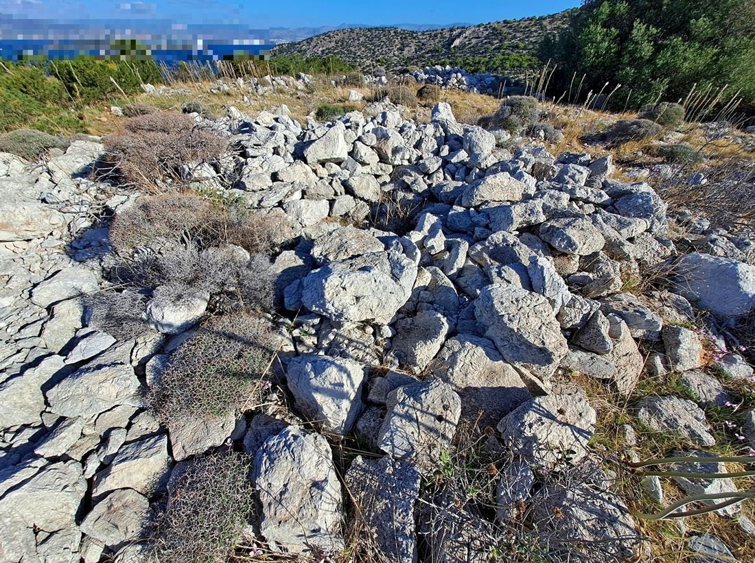
A dry-stone fortification stands in ruins on a coastal hill west of Perama, directly opposite the Salamis naval base. Its history is entirely unknown: no historical source mentions it, and no researcher appears to have studied it. The construction method offers the only clue. The builders used semi-finished stones without mortar or bricks, which rules out ancient Greek workmanship, with its carefully shaped blocks, and Byzantine practice, which relied on brick and binding mortar. The likeliest explanation places it in the early Frankish period, around the start of the 13th century, when the De La Roche family held the region. Similar xerolithic forts in Argolis and Corinthia, also De La Roche territory, support this theory, though certainty is impossible.
The fort's shape falls somewhere between a pentagon and a circle, roughly 45 metres across, with a wall perimeter of about 145 metres enclosing 1,500 square metres. At the centre lie the ruins of a circular building, some 5 metres in diameter, probably the keep. Foundations of another tower survive in the northern corner, and traces of two more on the eastern side, close together, likely flanking a gate. The walls survive only as low stone piles, but the outline remains clear. Access requires Navy permission and an escort. Some identify the hill as Xerxes' throne for the Battle of Salamis, though a site two kilometres east is more widely favoured.
- Kastra.eu, Castles of Greece · reference
Coordinates and heritage data compiled in the Atika atlas.