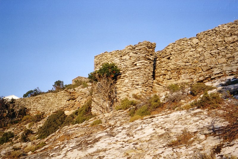
Palaiokastro
Palaiokastro stands on a rocky hill above the northwestern coast of Icaria, a medieval fortification of uncertain origin and chronology. Its position commands the entire northwest shore, and it was intervisible with the castles of Koskinas and Kapsalino on Mount Atheras to the east, while also controlling the route from northeastern Icaria towards the south and centre of the island. No Byzantine source mentions Icarian defences; the first documentation appears around 1420 in Cristoforo Buondelmonti's Liber insularum Archipelagi, which records two fortified settlements, one probably being Palaiokastro. The Ottoman admiral Piri Reis also noted a stronghold here between 1521 and 1526. The island passed from Byzantine hands to the Venetian Bejatiano or Bevazzano family in 1191, who held it until at least 1247, then to the Genoese Arangio in 1363, before the Ottomans took Icaria in 1481-84; the castle likely dates from this Venetian or Genoese period.
The enceinte runs 552 metres, enclosing 12,460 square metres, with wall thickness varying from 1.5 to 2.0 metres on the northwest to a mere 0.5 to 0.9 metres on the steep southern flank. Surviving heights reach only 1.5 metres. Four gates pierce the walls, one on the southeast now serving as the entrance, and three on the northwest, one guarded by a tower still rising two metres. Inside lie foundations of over thirty rectangular buildings and a later church, plus a long rectangular structure, possibly a cistern given its internal coating, set beneath the hill's peak.
- Kastra.eu, Castles of Greece · reference
Coordinates and heritage data compiled in the Atika atlas.