Oreini
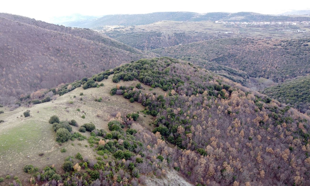
On a hill called Kulata, meaning castle, about a kilometre and a half east of Oreini in the Serres prefecture, stand the scant remains of a mountain fortress of uncertain date. Lime mortar in the masonry suggests construction from the 3rd or 4th century AD onwards, though surface pottery offers no firmer clue. Nothing is recorded of its history, but its position implies control of an ancient route from Serres into the high country, roughly the line of the modern road. The perimeter, some 300 metres around the hilltop, survives only in fragments: the best stretch, on the south-southeast side, runs 10 to 15 metres long, stands up to 1.80 metres high and is 1.60 metres thick. Elsewhere the wall has collapsed into stone piles or vanished under dense vegetation. Inside, tumbled building stones and scattered sherds remain. More telling are the heaps of iron slag along the western slope, evidence that this was as much a mining centre as a defensive post.
- Kastra.eu, Castles of Greece · reference
Coordinates and heritage data compiled in the Atika atlas.