Mylorema
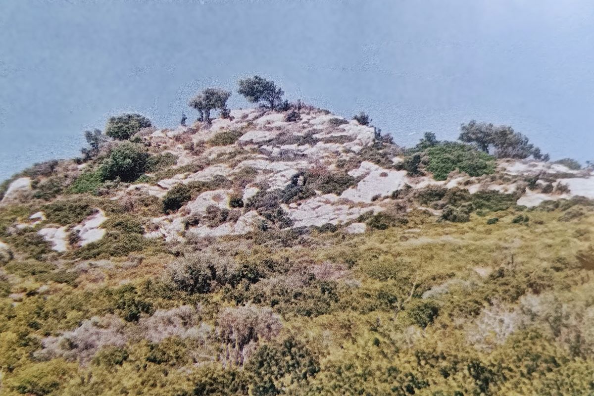
On a steep limestone outcrop rising from the softer hills of the Ermionida hinterland, the scant ruins of Mylorema keep watch over the Gulf of Hydra and the southern Saronic Gulf. The site takes its name from the stream running at the hill’s northwestern foot, and the ridge itself appears on meteorological maps as “Kastro”. What survives is chiefly the low ruin of a large tower, some 5 by 18 metres with walls 1.5 metres thick, built of slab-like stones set in mud mortar. Further west, foundations of at least two more towers, roughly 14 by 4 and 10 by 4 metres, suggest a dense cluster of towers rather than a conventional curtain wall.
The castle likely dates from the late Byzantine or early Frankish period, when the Delaros held the area under the Duchy of Athens. It passed through De Brienne and D’Engien hands, was bought by Venice in 1385, returned to the Byzantines in 1394, and was destroyed by the Ottomans in 1537, possibly the “Towers of Kastri” burned by Kassim Pasha.
- Kastra.eu, Castles of Greece · reference
Coordinates and heritage data compiled in the Atika atlas.