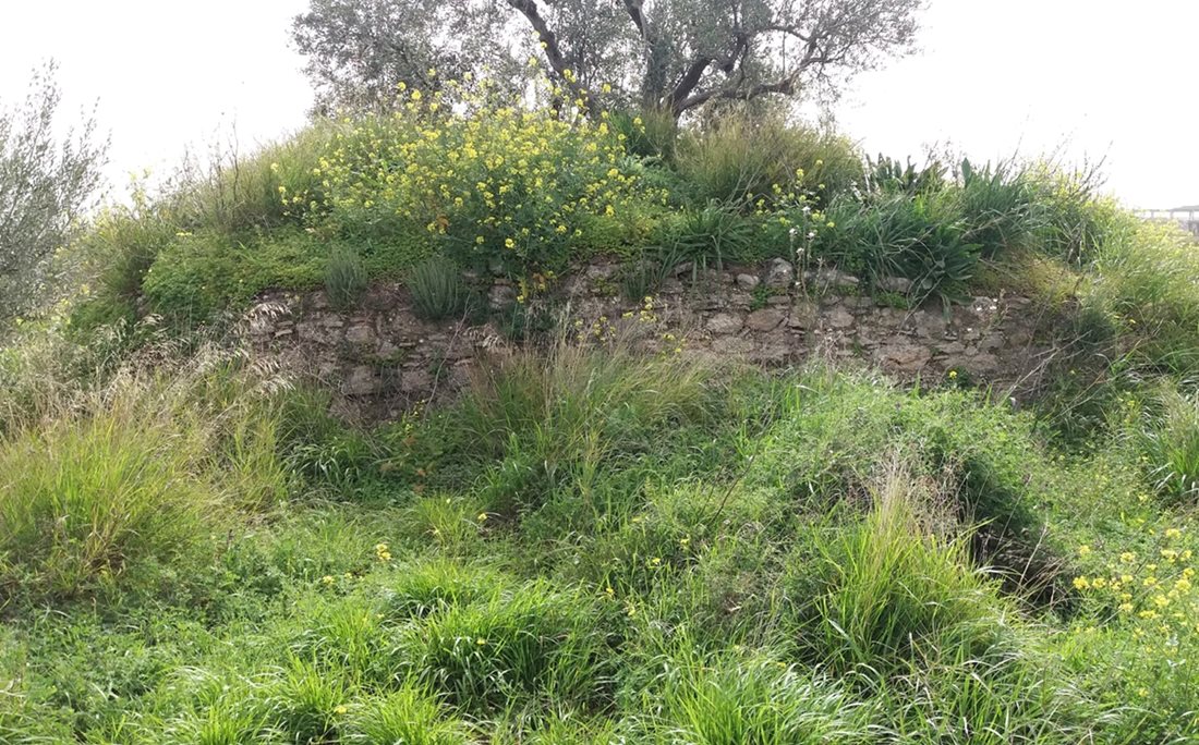
Magoula Pasio
On a low hill five hundred metres south-west of the village of Pasi, a few broken stones are all that remain of a medieval tower. The site overlooks the stream called Kyrillos and commands the old route from the Corinth region into Achaea, so its position was clearly chosen with an eye to movement and defence. The tower’s layout is almost square, and its greatest surviving height is a modest 1.4 metres. Nothing is recorded about its builders or its purpose. It is usually assigned to the Frankish period, somewhere between the thirteenth and fifteenth centuries, but it may be older, possibly dating from the middle Byzantine era. The uncertainty is fitting for a place that has slipped out of the written record entirely. What survives is a quiet, ruined outline on a hillside, more a hint of medieval vigilance than a monument with a story to tell.
- Kastra.eu, Castles of Greece · reference
Coordinates and heritage data compiled in the Atika atlas.