Ktyponisi
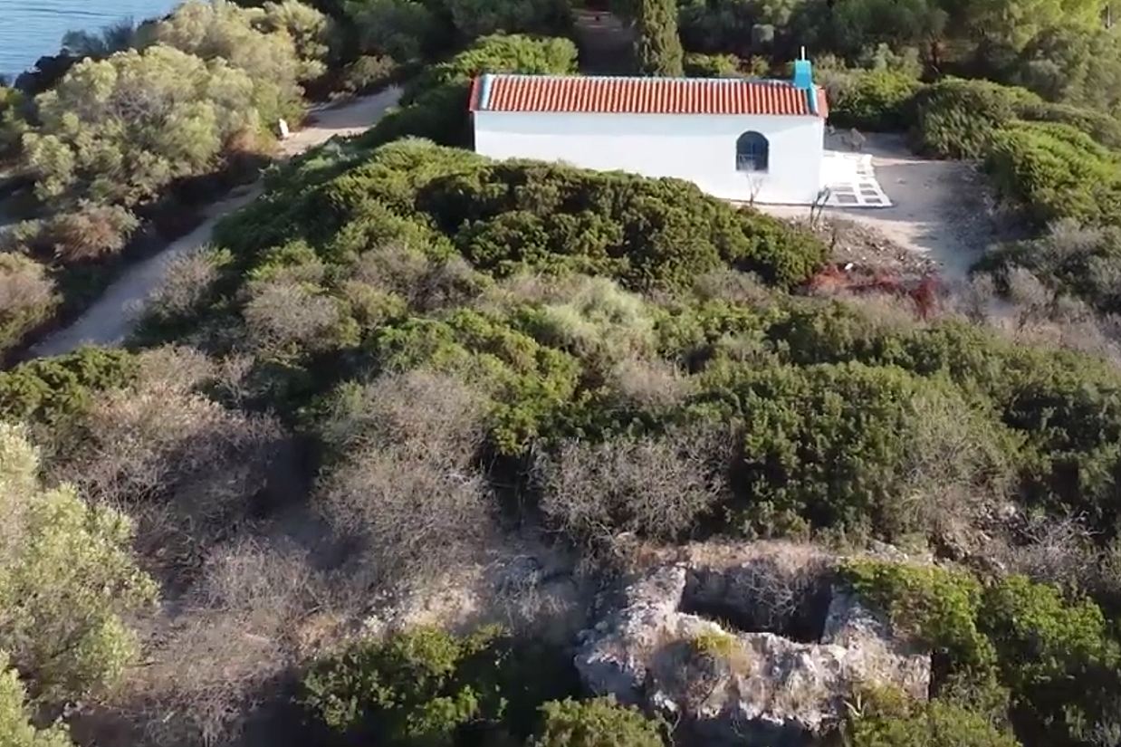
On the islet of Ktyponisi, just off the beach at Panagitsa-Drosia near Chalkida, a ruined tower stands among scant traces of a long, odd history. The islet itself carries several names, including Gaidaros, Egglezonisi and, formerly, Agios Nikolaos; its official name derives from Mount Ktypas on the mainland coast to the south. The tower is barely documented: the sole historical mention comes from the French cartographer Jean-Pierre-Eugène-Félicien Peytier, who noted it while mapping Central Greece and Evia between 1829 and 1833, at the request of Ioannis Kapodistrias. Beyond that, its origins are unknown, though pottery and a water tank on the islet date from the 6th to 7th centuries AD, hinting at Byzantine occupation. Later, in 1930, the English archaeologist Francis Turville-Petre rented the island, built a villa in 1931 and lived there briefly, until German bombing in the Second World War destroyed the house. The chapel of Agios Nikolaos survives, renovated, amid the ruins.
- Kastra.eu, Castles of Greece · reference
Coordinates and heritage data compiled in the Atika atlas.