Koklotos
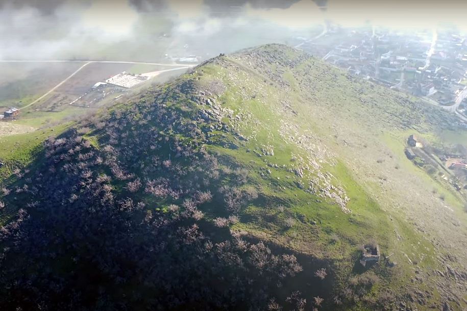
The ruins on Mikro Vouno hill, above the village of Klokotos in Trikala prefecture, are generally accepted as the remains of the ancient city of Farkadon, an identification first proposed by the English colonel Leake in 1835. Strabo recorded Farkadon as one of the cities of Estaiotis, a Thessalian state, positioned with Trikki and Pelinna along the southern bank of the Pinios river. The ancient fortification met its end in 357 BC, when Philip II of Macedonia captured the city; according to the historian Polyaenos, his soldiers scaled the unprotected eastern side of the hill with stairs. The city spread over two peaks and the southern slopes, the higher eastern summit (252m) being steep and unwalled. The citadel occupied the lower western peak, where a later Byzantine fortification, of unknown date, was added, its wall reinforced by at least two rectangular towers built of half-finished stones and lime mortar. The western tower measured 6.5 by 7.5 metres; the southeastern was slightly smaller. The acropolis perimeter ran 530 metres, enclosing roughly 22,000 square metres, with a single ancient wall guarding the neck between the peaks.
- Kastra.eu, Castles of Greece · reference
Coordinates and heritage data compiled in the Atika atlas.