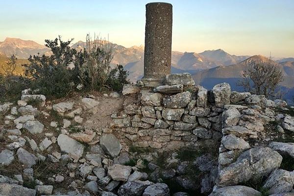
Kastraki
The ruins called Kastraki sit on a hill southeast of the village of Kastelli in the Kalavryta region, facing another fortified settlement, Agios Theodoros Castle, some 850 metres away on the opposite hill. The name Castelli appears in the fief lists of 1467 and 1471, and the Grimani census of 1700 records a Castel Apano e Catu, suggesting an upper and lower castle, though which hill held which is unclear. The lower settlement probably stood where the modern village cemetery lies. The fortification likely dates to the late Byzantine Frankish period, and Ibrahim Pasha destroyed it during the Greek War of Independence. Within the fortress, an elevated plateau runs southwest to northeast, topped by foundations of a square tower, 3.5 by 3.5 metres, surviving to one metre, with signs its ground floor held a cistern. The perimeter wall, built of irregular stones without mortar, stretches 150 metres and stands up to two metres high. East of the tower, within the walls, are traces of a small two-level settlement, and at the southwestern end, a single-space chapel.
- Kastra.eu, Castles of Greece · reference
Coordinates and heritage data compiled in the Atika atlas.