Kaisari
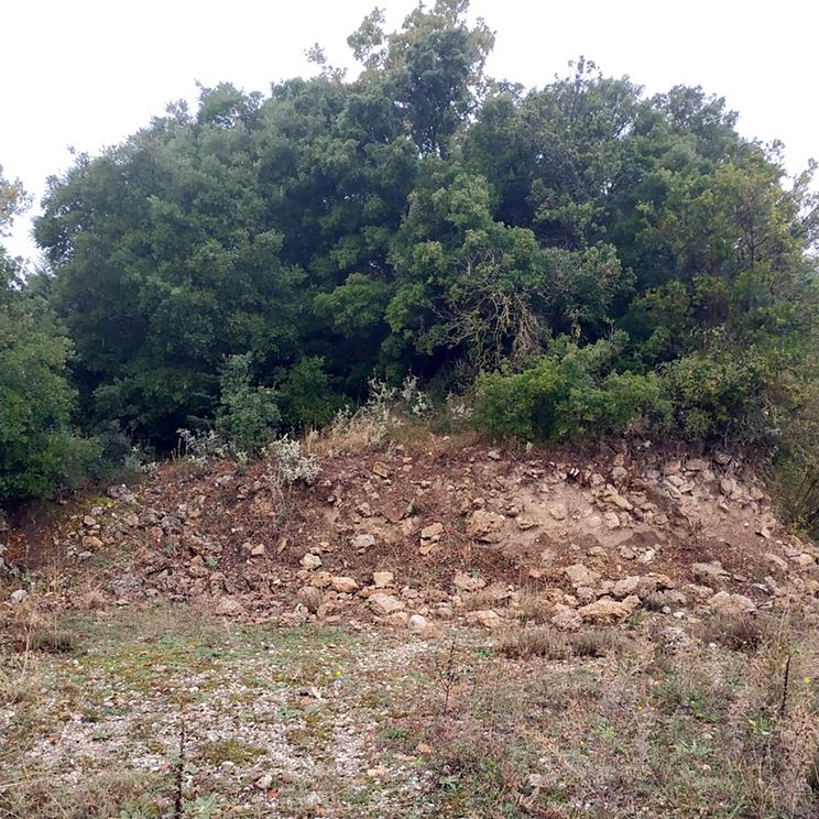
On a low hill 1,700 metres southwest of the village of Kaisari, in the Corinth region, stands the ruin of a tower that has almost entirely surrendered to time. What remains is a pile of stones some eight metres high, now overgrown and difficult to read, though its scale is still evident. The base was circular, with a diameter of eighteen metres according to Peppas in 1990, which suggests a substantial structure. Its history, however, is almost entirely obscure. No firm conclusion can be drawn about its origin: it might be ancient, Byzantine, Frankish, or post-medieval. We know only that it was in use during the late Byzantine period, and possibly under Ottoman rule. The local name "goulas" hints at construction after the thirteenth century, but that is hardly conclusive, as such names were sometimes applied to older buildings. Today it is classified as of unknown origin, a large but silent relic.
- Kastra.eu, Castles of Greece · reference
Coordinates and heritage data compiled in the Atika atlas.