Fryktoria
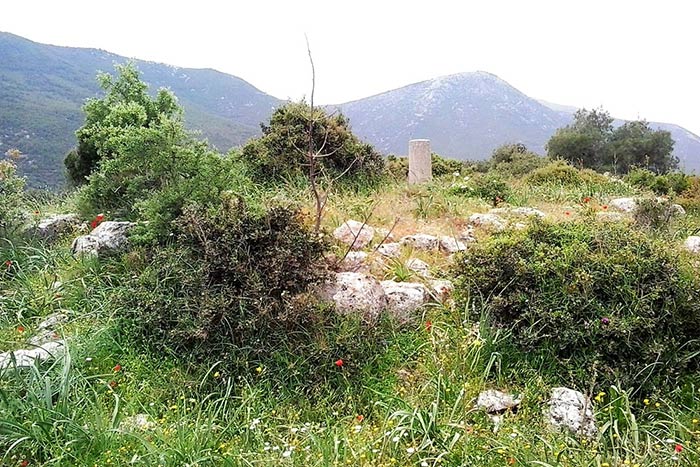
On a low hill west of Paleochori, near Mandra in western Attica, stand the scant remains of a tower that was almost square in plan. Its base measures 9.20 by 10.5 to 10.7 metres, with walls 1.10 to 1.20 metres thick, now surviving to a maximum height of just 84 centimetres. The masonry includes mortar, which suggests the structure, though originally built in the late classical period, saw further use in the Middle Ages. In antiquity this frontier zone lay between the territories of Athens, Megara and Boeotia, and the tower's wide visibility range points to its likely role as a phryctoria, a beacon station for relaying torch signals. Some 71 metres to the northeast sits a circular cistern, 2.15 metres in diameter and 2.50 metres deep, presumably serving the tower's occupants. The site is one of several rural towers and forts scattered across this part of Attica, most of ancient date, and it now survives only as a ruined shell.
- Kastra.eu, Castles of Greece · reference
Coordinates and heritage data compiled in the Atika atlas.