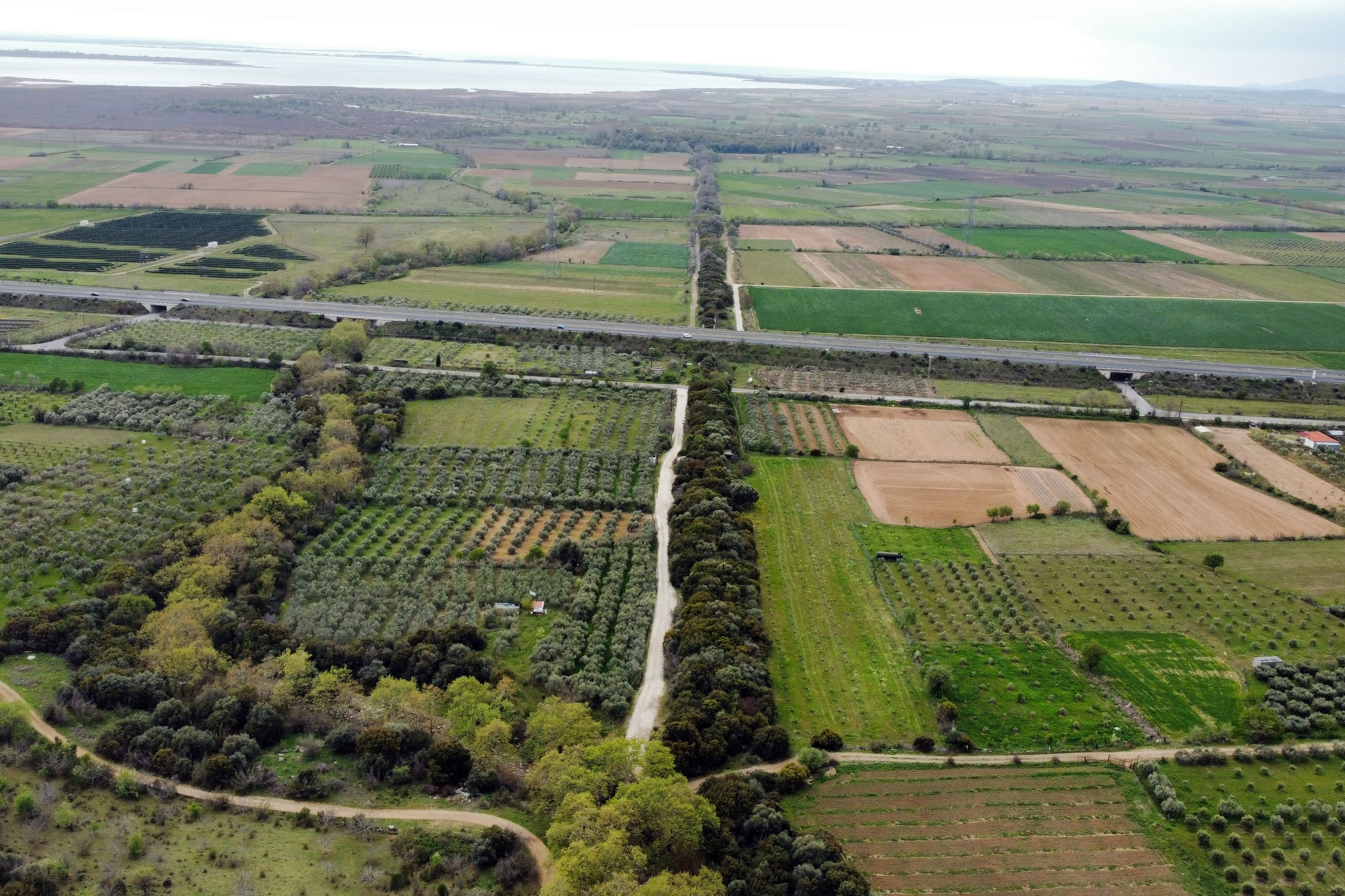
Anastasioupolis-wall
A long Byzantine cross-wall strides across the plain between Koptero and Amaxades in Rhodope, running 2,300 metres from the castle city of Anastasioupolis-Peritheorion in the south to the foothills of the Rhodope mountains in the north. Built under Justinian in the first half of the 6th century, it was primarily an aqueduct, carrying and protecting the pipeline that brought water from the hill to the city, and only secondarily a defensive barrier. It blocks the narrowest lowland passage between Lake Vistonida and the mountains, and the old national road, the Egnatia Road and the railway all cut through it vertically. For most of its length it is a double wall, each leaf about 1.5 metres thick with a 4-metre gap between, a safe corridor for defenders and pipes, though no trace of ancient pipework has yet been found. It survives almost entire, though much is overgrown. Procopius records that Justinian added the coastal fortifications and this aqueduct; the city itself, named for Anastasios I, stood on a Roman station, Stabulo Diomedis, and later became Peritheorion, one of the last Thracian towns to fall to the Ottomans.
- Kastra.eu, Castles of Greece · reference
Coordinates and heritage data compiled in the Atika atlas.