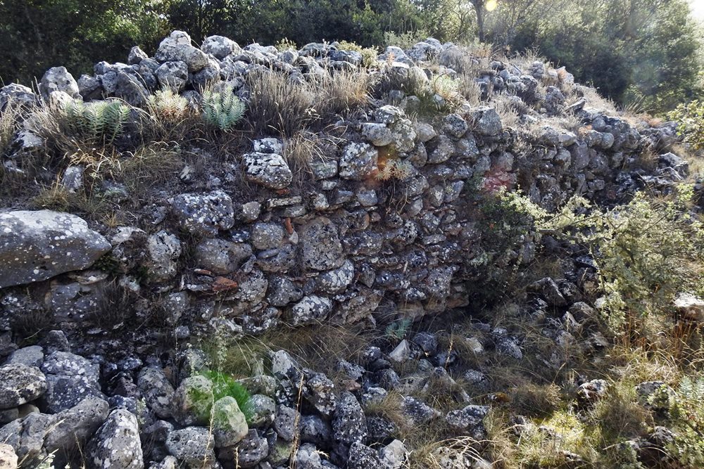
Analipsi
On a low hill three kilometres west of Vourvoura in Arcadia, close to the church of the Ascension, stand the scant remains of what was once a substantial Byzantine tower. The site, on the south bank of the Sarantaporos river, commands a small plain to the southwest and the routes into southeastern Arcadia, and may mark the position of the ancient city of Karyai. The structure was a large tower or small fortress, roughly trapezoid in plan, measuring 21.65 by 21.65 metres with interior partitions. Its walls, built with mortar and tile fragments, survive to a maximum height of just 1.80 metres on the southern side; the east and west walls were 2.80 metres thick, the others 1.65. Nothing is known of its history, though its position on the contested frontier between Frankish and Byzantine lands in the late thirteenth century suggests a possible construction date then, a period of constant hostilities. The building technique rules out both ancient and Ottoman origins.
- Kastra.eu, Castles of Greece · reference
Coordinates and heritage data compiled in the Atika atlas.