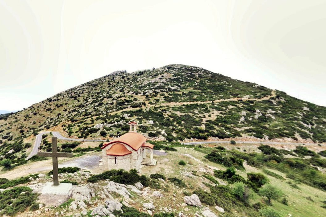
Agia Kyriaki
On the summit of Agia Kyriaki hill, 1065 metres up in Mount Ktenias northeast of Tripoli, lie the tumbled remains of a small dry-stone enclosure. The rough construction, without mortar, suggests this was never a serious military fortress but a refuge for a small settlement, probably raised in the late 6th century when Slavic groups were entering the Peloponnese. Pottery fragments and tiles point to habitation in the 6th and 7th centuries, while a glazed shard with flaky decoration dates to the 12th or 13th century. A 28mm bronze buckle, of a type made in Corinth, confirms the earlier occupation. The walls, about 2.10 metres thick, survive best on the north side at up to two metres high; the eastern section has largely fallen down the cliff. Inside stands a rectangular ruin, likely the church of Agia Kyriaki, still used once a year. A modern chapel of the Elevation of the Holy Cross sits 250 metres below.
- Kastra.eu, Castles of Greece · reference
Coordinates and heritage data compiled in the Atika atlas.